Choose urban, island or rural north
Tie the shortlist to the actual job, military installation, hospital, school and weekly-service corridor before comparing distant parts of Escambia.
Open economic data ↗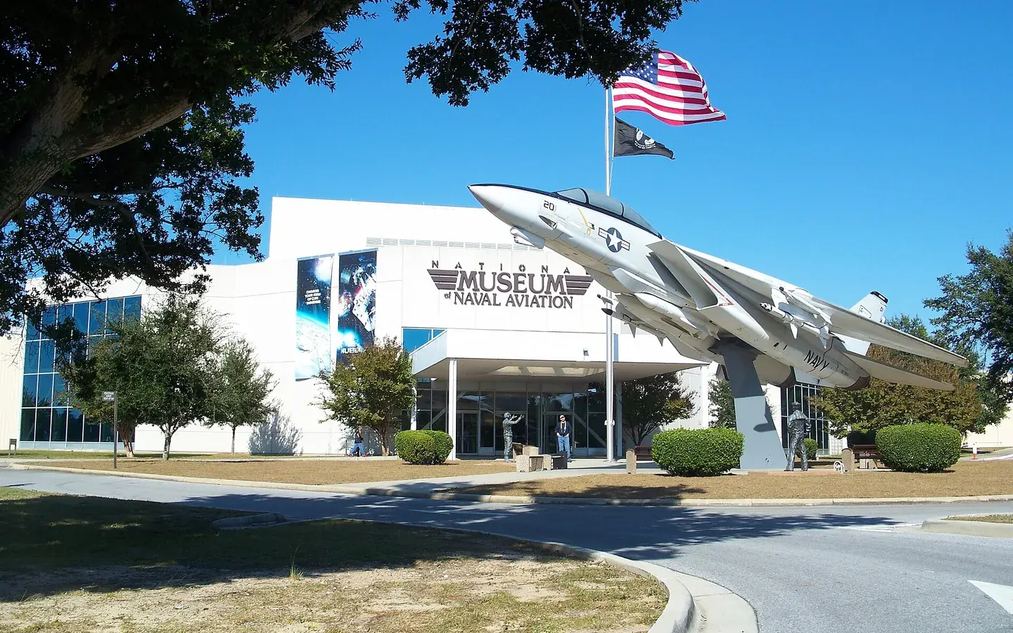
Complete Florida county guide
A historic Gulf city, naval aviation, major healthcare and barrier-island beaches anchor Florida’s westernmost county.
Start with daily life
Escambia is Florida's westernmost county, joining Pensacola's historic urban and naval center with barrier-island beaches, suburban and military-adjacent communities, and the rural north around Century. The Gulf and bay system creates a different transportation and storm-planning map for each part of the county.
Military and defense, healthcare, education, government, tourism, manufacturing, construction and port activity support the economy. I-10 and U.S. 29 handle regional movement, while bay and barrier-island bridges, U.S. 98 and surface roads can become the defining part of a commute or evacuation plan.
Compare one urban or suburban option with the actual beach or rural alternative. Drive the required bridge, map military-gate or hospital access, and verify flood, storm-surge, evacuation, wind, roof, drainage, septic and insurance conditions for the exact property.
The numbers that matter if you are moving
U.S. Census Bureau, American Community Survey, published January 2026, read September 19, 2026. Survey figures are estimates; median home value is what owners estimate their home is worth, not a sale price.
Relocation decision desk
Do not rely on a countywide impression for an address-level decision. Use these questions during the shortlist, scouting and offer stages.
Tie the shortlist to the actual job, military installation, hospital, school and weekly-service corridor before comparing distant parts of Escambia.
Open economic data ↗Test the bay, beach or Perdido route and any military-access routine during normal and busy periods; identify the practical alternate route.
Open economic data ↗Use Escambia's address tool for the evacuation zone and storm-surge context, then plan route, timing, pets and shelter well before a warning.
Open preparedness maps ↗Review roof, openings, elevation, flood information, permits, drainage and insurance for coastal, bayfront and older urban property.
Open insurance guidance ↗Pensacola has major hospitals and specialists; confirm routine and emergency travel from barrier islands and north county.
Open health data ↗For rural and fringe properties, verify road maintenance, well or septic service, drainage, broadband and current infrastructure projects.
Open Census estimates ↗Communities to compare
These are starting points, not a ranking. Add nearby towns and neighborhoods as you learn your daily route and housing priorities.
Pensacola is the county's principal city and center for healthcare, higher education, government, culture and naval aviation. Compare downtown, established neighborhoods and suburban addresses by job corridor, flood conditions, building age and the route to I-10 or military installations.
Pensacola Beach sits on Santa Rosa Island with Gulf access and a strong visitor economy. Bridge dependence, leasehold structure, evacuation, storm surge, wind, rental rules and mainland service access are fundamental property questions.
Perdido Key is a barrier-island community near the Alabama line with beaches, condos and a quieter coastal pattern. Review the limited road network, evacuation route, condominium reserves and assessments, flood and wind coverage and access to Pensacola services.
Century anchors the rural north near the Alabama line and U.S. 29. Housing can be less expensive than the urban coast, but employment, healthcare, broadband, utilities, storm recovery and the long trip to Pensacola require direct testing.
Five relocation checks
The regional pattern is a starting point. Verify the answer for the exact city, neighborhood and property you are considering.
 01
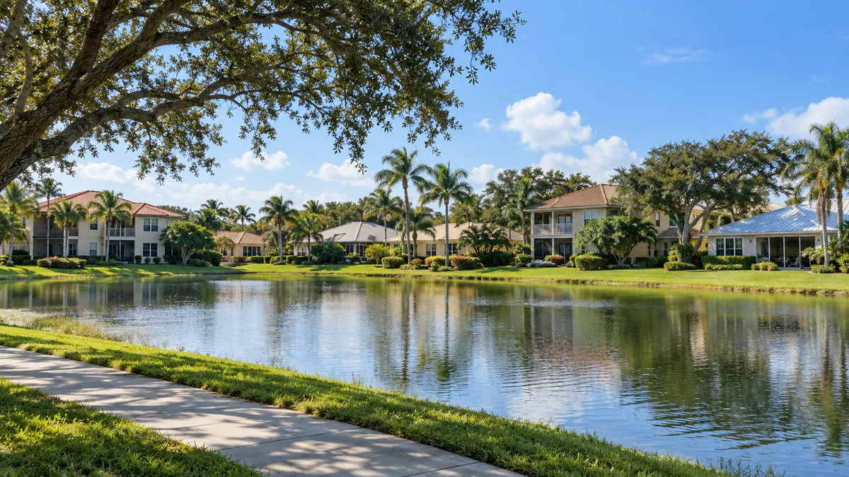
01The urban center, Pensacola Beach, Perdido Key and Century serve different lifestyles and travel patterns. Compare the entire operating cost of each location.
VERIFY LOCALLY BEFORE YOU COMMIT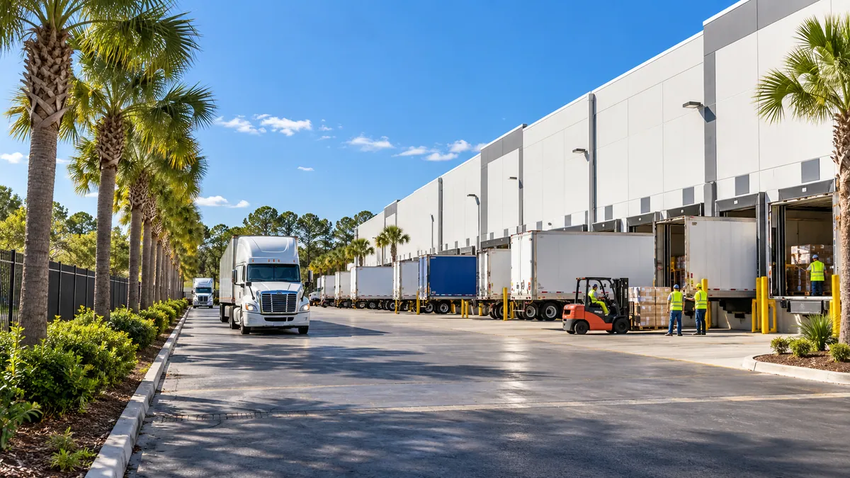 02
02Naval aviation, defense, hospitals, education, government, port activity and tourism create several employment centers across the county.
VERIFY LOCALLY BEFORE YOU COMMIT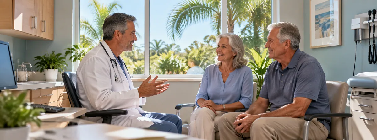 03
03The urban area has substantial medical services, while beach and north-county addresses require longer or bridge-dependent trips. Verify the network and route.
VERIFY LOCALLY BEFORE YOU COMMIT 04
04I-10 and U.S. 29 support regional access, while barrier-island and bay crossings determine many local trips. Test closures, seasonal traffic and alternatives.
VERIFY LOCALLY BEFORE YOU COMMIT 05
05Storm surge, flooding, wind, rain and evacuation demand current official maps, a building-level inspection, an insurance quote and a workable household plan.
VERIFY LOCALLY BEFORE YOU COMMITHospitals in Escambia County
From the state's own hospital list. Each card opens the state's record for that hospital: its address, phone, services and inspection reports.
587 licensed beds
The state's record ↗Pensacola515 licensed beds
The state's record ↗Pensacola492 licensed beds
The state's record ↗The state licenses two more hospitals in Escambia County with no emergency room; its list names them.
How do I compare hospitals in Florida? →How do I find a doctor who takes Medicare? →Search the state's hospital list ↗
Source: Florida Agency for Health Care Administration, FloridaHealthFinder, Locate a Facility (hospitals), read September 25, 2026.
Evergreen county experiences
Use enduring natural, historic and cultural places to understand the area beyond a real-estate showing.
The National Naval Aviation Museum sits at 1750 Radford Boulevard on Naval Air Station Pensacola and covers the flying done by the Navy, the Marine Corps and the Coast Guard. There are more than 150 restored aircraft and over 4,000 artifacts, along with flight simulators, a large-format theater with showings from 9:30 in the morning, and the Cubi Bar Cafe for lunch.
Gulf Islands National Seashore was authorized on January 8, 1971, and covers 135,457.89 acres across Florida, Alabama and Mississippi, with a wilderness area designated separately in 1978. The Florida district is the part reached by car: six areas open to vehicles, taking in white quartz beaches, historic fortifications and nature trails.
Historic Pensacola Village occupies several blocks of downtown and is run by the University of West Florida Historic Trust from 330 South Jefferson Street. Tours start at the Tivoli House, a reconstruction of an 1805 building put back in 1976 from old photographs and what the archaeologists found.
Pensacola got its first light in 1823, a lightship called the Aurora Borealis, then a 40-foot tower in 1825. Neither worked well: the lightship had to anchor inside the bay because of rough water, and trees blocked the tower's light.
Fort Pickens was built between 1829 and 1834 at the western end of Santa Rosa Island, guarding the entrance to Pensacola Bay. The French engineer Simon Bernard designed it as a pentagon, Colonel William H.
The building at 407 South Jefferson Street went up in 1906 as Pensacola's first permanent jail. When the city built a new one in 1954 it leased the old jail to the newly formed Pensacola Art Association for a dollar a year, and the association turned the cells into exhibition rooms.
MESS stands for Math, Engineering, Science and Stuff, and the Pensacola MESS Hall at 418 East Wright Street is built on the idea that people learn this material by doing it rather than reading labels. The place puts out ten to twelve rotating activity kits alongside its regular exhibits, and as the staff put it, at the MESS Hall you are the scientists.
This bluff over Pensacola Bay has carried forts since 1698, when the Spanish built Fort San Carlos de Austria on it. The French destroyed that in 1719. The Spanish came back, put up the Bateria de San Antonio at sea level in 1787 and a wooden fort on the hill between 1787 and 1797.
Johnson Beach is the Perdido Key unit of Gulf Islands National Seashore, reached by taking State Road 292 west out of Pensacola and crossing onto the key. It carries the name of Rosamond Johnson Jr., a United States Army private and the first man from the area killed in the Korean War, in 1950.
Bay Bluffs Park protects 26 acres of steep wooded hillside above Escambia Bay at 3400 Scenic Highway, east of downtown Pensacola, with trailheads near Bay View Park and at Summit Boulevard. The bluffs are the point of it.
Veterans Memorial Park sits on the downtown Pensacola bayfront at 200 South 10th Avenue, next to Admiral Mason Park along Bayfront Parkway. The ground was once a rough waterfront district called Hawkshaw, left over from the lumber years.
Perdido Key State Park is at 15301 Perdido Key Drive, southwest of Pensacola, and it is a beach park and little else, which is the point. The sand is white, the dunes behind it roll and are held together by sea oats, and boardwalks carry people from the parking area over the dunes to the water so the plants are not trampled flat.
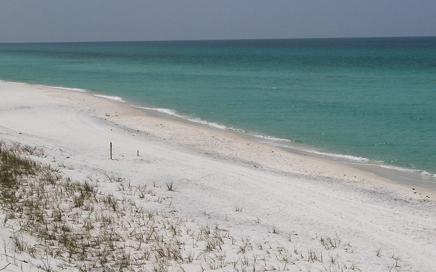
Pensacola Beach lies on Santa Rosa Island, the longest barrier island in the Florida panhandle, with wide beachfront and green water. The sand is why people talk about this stretch of coast. It is finely ground quartz carried down from the Appalachian Mountains some 25 million years ago, and it is white enough to hurt the eyes at noon and dry enough to squeak underfoot when you walk on it.
Big Lagoon State Park covers 706.76 acres about ten miles southwest of Pensacola, along the north edge of Big Lagoon where it runs east toward Pensacola Bay. It was established in 1977. Nine distinct natural communities are inside its boundary, from estuarine marsh to scrubby flatwoods, and more than twenty threatened species live in them, among them gopher tortoises and snowy plovers.
Blue Wahoos Stadium opened on April 5, 2012, at 351 West Cedar Street, in Community Maritime Park on the Pensacola bayfront, and it holds 5,038 people across 117,000 square feet. It cost just under 24 million dollars to build.
Beaches in Escambia County
Each card gives the beach, its visit category and its next steps: the practical visit guide, the official site where the beach has one, and directions. Always verify current parking, fees, water quality, lifeguard coverage and posted rules before leaving.
Not identified here as clothing-optional. This category does not guarantee child safety, calm water or lifeguard coverage.
Nudity is officially permitted in all or part of the destination. Read the current notice before taking children.
Nudity may be encountered in a remote area even without an official clothing-optional designation.
Escambia County, Florida
15301 Perdido Key Drive: white sand with rolling dunes behind it, held together by sea oats. Wooden boardwalks carry people from the parking area over those dunes so the vegetation is left alone. The park protects the Perdido Key beach mouse, which lives on sea oat seeds and is part of how the dune system holds. Restrooms, showers, water fountains, picnic pavilions, an interpretive exhibit and accessible facilities. Open 8 a.m. to sunset, 365 days a year, $3 a vehicle into an honor box.
Escambia County, Florida
The Perdido Key area of Gulf Islands National Seashore, named for Rosamond Johnson, who gave his life for his country. Johnson Beach Road runs about a mile and a half to a turnaround; past that the island keeps going but only on foot or by boat, and the far end is the one place camping is allowed, boat-in only. Three parking lots along the road, each with a way to the sand, plus beach crossovers, a small boat launch, day-use pavilions with restrooms and an accessible boardwalk trail. Five species of sea turtle use this shore. Lifeguards from Memorial Day to Labor Day. An entrance fee applies, credit card only. No pets on the beach. Open 5 a.m. to 8 p.m. from March through October and to 6 p.m. the rest of the year.
Escambia County, Florida
The Santa Rosa Island Authority runs this shore and puts lifeguards on four parts of it: Casino Beach, Park East, the Fort Pickens Gate park and Quietwater Beach. Full-time cover runs June through August, with weekends from the middle of April through September, 9:30 a.m. to 6 p.m. Beach warning flags fly at the access points. Green is calm, yellow means moderate surf or currents, red means high surf or strong currents, double red means the water is closed, and purple means dangerous marine life. If a rip current takes you, swim parallel to the shore rather than against it.
Escambia County, Florida
One of the four places on Pensacola Beach where the Santa Rosa Island Authority puts lifeguards. Full-time cover June through August, weekends from mid-April through September, 9:30 a.m. to 6 p.m. Read the warning flag at the access before you go in: green calm, yellow moderate surf or currents, red high surf or strong currents, double red water closed, purple dangerous marine life.
Escambia County, Florida
One of the four guarded spots on Pensacola Beach, with the same Santa Rosa Island Authority cover as the others: full-time June through August, weekends from mid-April through September, 9:30 a.m. to 6 p.m. The same five-color warning flag system applies here.
Escambia County, Florida
The park at the west end of Pensacola Beach, on the right before the Fort Pickens gate, and it has two sides. On the Gulf side there are covered pavilions with grills and picnic tables, showers and bathrooms, and the way onto the sand is built for a wheelchair, with an accessible drop off, accessible parking and an entrance with no stairs. On the sound side there is parking for more than 150 cars beside a wide open stretch of sand, two more covered pavilions with two picnic tables each, and a playground, with bathrooms and showers across the street. Both of Pensacola Beach's dog beaches are here, at lots 21.5 and 28.5; dogs must be leashed and cleaned up after, and no other public beach or park on the island allows them. A warning flag flies at this park.
Escambia County, Florida
The swimming beach in the Santa Rosa area of Gulf Islands National Seashore. Lifeguards from the middle of May through August. Beach warning flags fly at the entrance stations and at many of the access points along the road.
Escambia County, Florida
The swimming beach in the Fort Pickens area of Gulf Islands National Seashore, with restrooms, outdoor showers, parking and a pavilion, and a lifeguard from Memorial Day to Labor Day. Beach mats and beach wheelchairs can be asked for at the campground registration office. Fort Pickens itself is a Civil War fort you can walk through, with concrete gun batteries from the turn of the last century around it. Fort Pickens Road reaches it from Highway 399 across a toll bridge, with beach parking lots along the way. An entrance fee applies, credit card only, and no pets on the beach.
Official planning desk
 Escambia County Government
Official county services, departments, projects and resident information.
Open official source ↗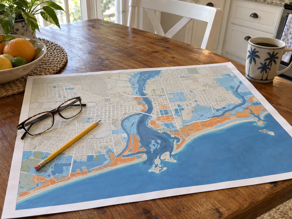 Escambia Know Your Zone
Address-based evacuation zones, storm-surge scenarios, shelters and routes.
Open official source ↗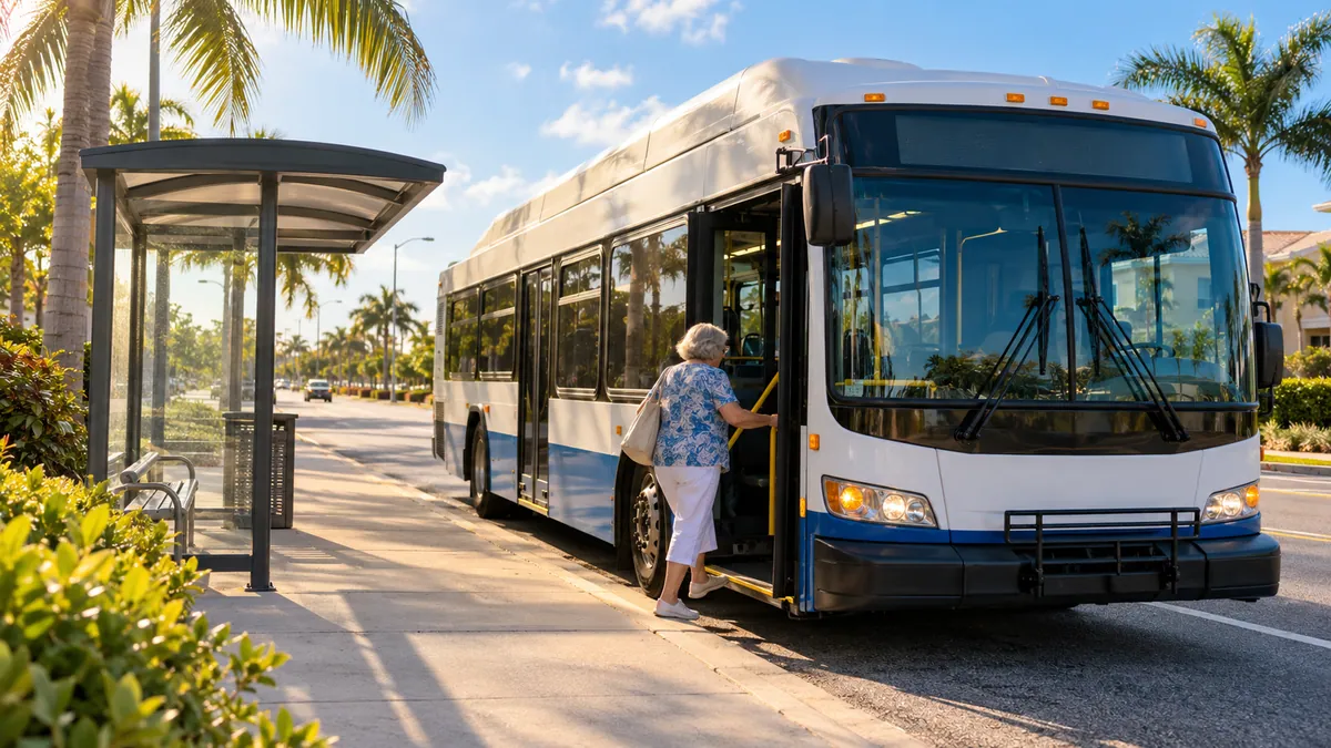 Escambia Transportation & Traffic
County roadway planning, improvement and traffic-operations resources.
Open official source ↗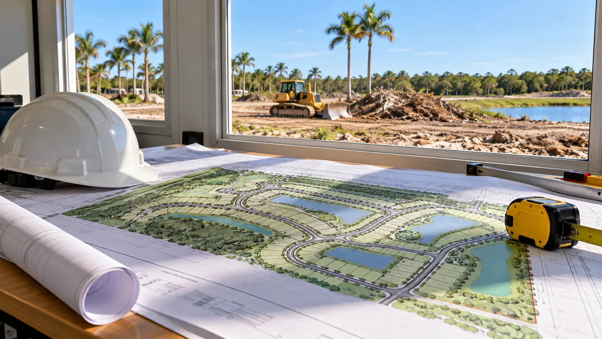 Escambia Current Projects
Official upcoming and active infrastructure projects by district.
Open official source ↗Compare nearby counties
 Milton · Pace · NavarreSanta Rosa County
 Fort Walton Beach · Destin · NicevilleOkaloosa County
 DeFuniak Springs · Freeport · South WaltonWalton County
 Bonifay · Ponce de Leon · EstoHolmes County
 Chipley · Vernon · CaryvilleWashington County