Perry
Start with Perry to understand the established center, nearby services and everyday rhythm within Taylor County.
Complete Florida county guide
Forests, a working inland center and Gulf fishing communities create a rugged Nature Coast lifestyle.
Start with daily life
Forests, a working inland center and Gulf fishing communities create a rugged Nature Coast lifestyle.
Use this guide as a first-pass planning tool. On a scouting trip, compare actual commute routes, insurance requirements, medical access, school or training options and the places you would use in an ordinary week—not only the best-known attraction.
The numbers that matter if you are moving
U.S. Census Bureau, American Community Survey, published January 2026, read September 19, 2026. Survey figures are estimates; median home value is what owners estimate their home is worth, not a sale price.
Relocation decision desk
Property cost, flood and wind, schools, healthcare, daily travel and storm readiness.
How to research a Florida county →Communities to compare
These are starting points, not a ranking. Add nearby towns and neighborhoods as you learn your daily route and housing priorities.
Start with Perry to understand the established center, nearby services and everyday rhythm within Taylor County.
Use Steinhatchee to compare housing patterns, main-road access and the shopping or medical stops used during a normal week.
Walk or drive through Keaton Beach at different times of day to judge traffic, neighborhood character and access to outdoor space.
Hospitals in Taylor County
From the state's own hospital list. Each card opens the state's record for that hospital: its address, phone, services and inspection reports.
How do I compare hospitals in Florida? →How do I find a doctor who takes Medicare? →Search the state's hospital list ↗
Source: Florida Agency for Health Care Administration, FloridaHealthFinder, Locate a Facility (hospitals), read September 25, 2026.
Evergreen county experiences
Use enduring natural, historic and cultural places to understand the area beyond a real-estate showing.
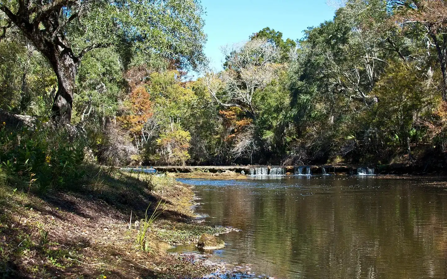
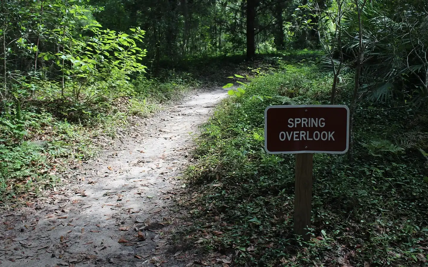
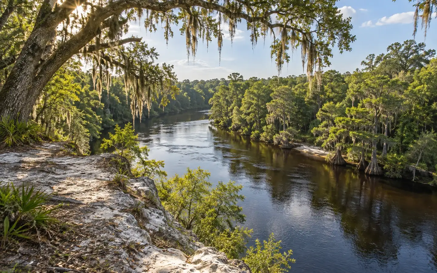
Wide is the word, not tall. The tannic river has cut across a shelf of coastal limestone, and the drop is four to five feet when the water is low and almost invisible when the water is high, so paddlers sometimes glide over the ledge without noticing it.
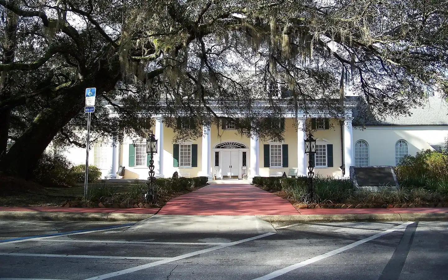
Taylor County has been forest country for well over a century, and this park exists to explain what that meant and still means. The museum covers the history of the forest industry in Florida and the wildlife that lives in a working pine forest.
The park address is 4384 Econfina River Road with a Lamont mailing address, and the land itself sits in Taylor County. The ground shifts as you move toward the water: pine flatwoods first, then oak and palm forest, then a wide open salt marsh with islands of pine standing out of the grass.
Hodges Park is the public side of it, with a fishing pier, a play area, and the county's main public boat ramp. The sand is modest by Florida standards; the draw here is the water and what is in it.
It was established in 1931 by Executive Order 5740 and has grown through later orders into three units, St. Marks, Wakulla and Panacea. Roughly forty-three miles of Gulf coastline lie inside it, along with coastal marsh, islands, tidal creeks and the estuaries of seven north Florida rivers.
The units are Snipe Island, Hickory Mound, Spring Creek, Tide Swamp and Jena, and together they run from the mouth of the Aucilla River down to just past the town of Horseshoe Beach. The land was bought by the Nature Conservancy from the Buckeye Cellulose Corporation in 1986 and taken over by the State of Florida in 1987 through the Conservation and Recreation Lands program.
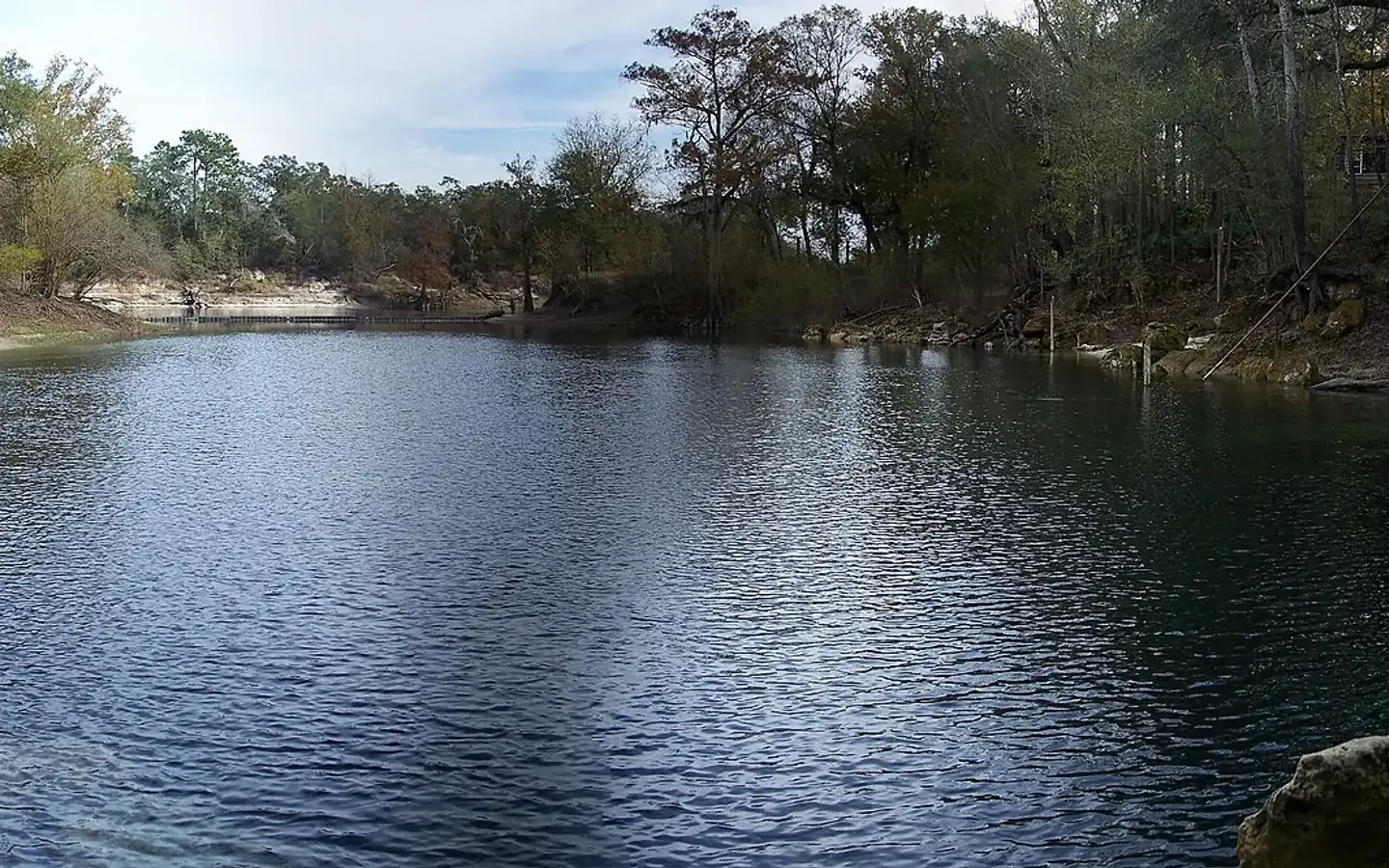
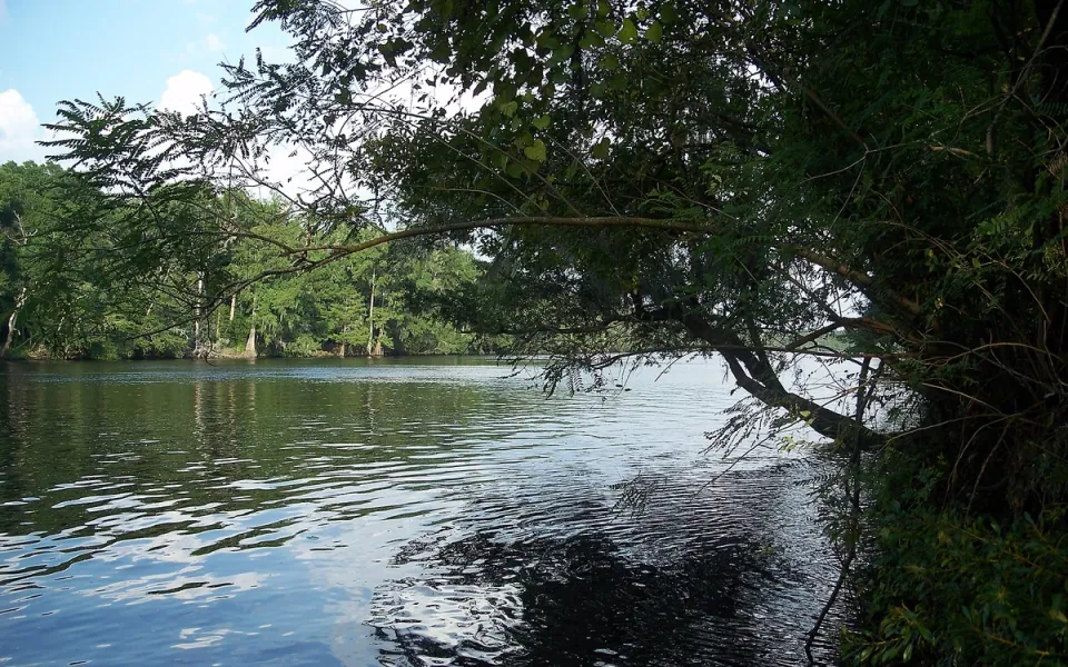
It rises in Mallory Swamp, just south of Mayo in Lafayette County, and drains a basin of 586 square miles before reaching the Gulf. For about a mile near the US 19 crossing the river goes underground and runs as a subterranean stream, which is ordinary behavior for a river cutting through limestone in this part of Florida and still surprises people who are watching for it.
Beaches in Taylor County
Each card gives the beach, its visit category and its next steps: the practical visit guide, the official site where the beach has one, and directions. Always verify current parking, fees, water quality, lifeguard coverage and posted rules before leaving.
Not identified here as clothing-optional. This category does not guarantee child safety, calm water or lifeguard coverage.
Nudity is officially permitted in all or part of the destination. Read the current notice before taking children.
Nudity may be encountered in a remote area even without an official clothing-optional designation.
Taylor County, Florida
A Gulf coast community in the south of Taylor County with an uncrowded beach, good for sunbathing, beachcombing and watching the sun go down. It is known just as much for the fishing, with grouper, redfish and flounder all taken off this stretch. Taylor County has four public accesses in all.
Taylor County, Florida
A small community on the Gulf about 18 miles south of Perry by Beach Road: a few roads and a few dozen homes raised high on stilts, with little else built between them and the water. No official source lists public parking or restrooms here. Keaton Beach is two miles south.
Taylor County, Florida
Part of the Big Bend Wildlife Management Area on County Road 361, between Keaton Beach and Steinhatchee: 117 acres run by the Florida Fish and Wildlife Conservation Commission. A viewing tower looks out over marsh, mudflats and the open Gulf, and the birding is the reason most people make the trip, with bald eagles, reddish egrets and large flocks of shorebirds and wading birds in winter, spring and fall. Restrooms and parking, both with accessible spaces. Horseback riding is allowed and there is a place to launch a paddle craft. Open daily from sunrise to sunset, and free. The water here is shallow enough that in scallop season, June through September, you can wade out and look for scallops rather than take a boat.
Official planning desk
 Florida disaster preparedness maps
Official evacuation-zone, route and storm-surge planning maps.
Open official source ↗ Florida school accountability reports
Current state school and district accountability information.
Open official source ↗ Florida community health data
County-level public health indicators and community reports.
Open official source ↗ Florida housing resources
State resources for homebuyers, renters and local assistance programs.
Open official source ↗Compare nearby counties
 Madison · Lee · GreenvilleMadison County
 Jasper · Jennings · White SpringsHamilton County
 Live Oak · Branford · WellbornSuwannee County
 Mayo · DayLafayette County
 Cross City · Horseshoe Beach · Old TownDixie County