Cross City
Start with Cross City to understand the established center, nearby services and everyday rhythm within Dixie County.
Complete Florida county guide
A quiet Nature Coast county with forests, Suwannee River access and small Gulf waterfront communities.
Start with daily life
A quiet Nature Coast county with forests, Suwannee River access and small Gulf waterfront communities.
Use this guide as a first-pass planning tool. On a scouting trip, compare actual commute routes, insurance requirements, medical access, school or training options and the places you would use in an ordinary week—not only the best-known attraction.
The numbers that matter if you are moving
U.S. Census Bureau, American Community Survey, published January 2026, read September 19, 2026. Survey figures are estimates; median home value is what owners estimate their home is worth, not a sale price.
Relocation decision desk
Property cost, flood and wind, schools, healthcare, daily travel and storm readiness.
How to research a Florida county →Communities to compare
These are starting points, not a ranking. Add nearby towns and neighborhoods as you learn your daily route and housing priorities.
Start with Cross City to understand the established center, nearby services and everyday rhythm within Dixie County.
Use Horseshoe Beach to compare housing patterns, main-road access and the shopping or medical stops used during a normal week.
Walk or drive through Old Town at different times of day to judge traffic, neighborhood character and access to outdoor space.
Hospitals in Dixie County
The state's hospital list names none in the county. Its search by address finds the hospitals nearest any home you are considering.
How do I compare hospitals in Florida? →How do I find a doctor who takes Medicare? →Find the hospitals nearest an address ↗
Source: Florida Agency for Health Care Administration, FloridaHealthFinder, Locate a Facility (hospitals), read September 25, 2026.
Evergreen county experiences
Use enduring natural, historic and cultural places to understand the area beyond a real-estate showing.
Horseshoe Beach sits at the end of Dixie County Highway 351, roughly nineteen miles southwest of Cross City, on a point of land curving into the Gulf between the Suwannee and Steinhatchee rivers. About 169 people live there.
The Lower Suwannee National Wildlife Refuge was established in 1979 and covers 53,000 acres across southeastern Dixie and northwestern Levy counties, about fifty miles southwest of Gainesville. It was created to protect one of the largest undeveloped river delta systems in the United States, taking in twenty miles of the Suwannee estuary and more than thirty miles of coast.
The Suwannee River trestle at Old Town, known as the Drew Bridge, is a red steel span put up in the early 1900s to carry people and goods over one of the largest rivers in Florida. It ran 1,335 feet, with a 150-foot swing span in the middle that could be turned by hand so steamboats could pass; a key went into the gear above the round pier, and horses or donkeys did the pulling.
Shired Island lies on the Dixie County coast between Shired Creek and Johnson Creek, connected to the mainland by a short bridge over the creek. The way in is County Road 357, which runs off Highway 351 between Cross City and Horseshoe Beach, and the drive itself is part of it: marsh on both sides and very little building.
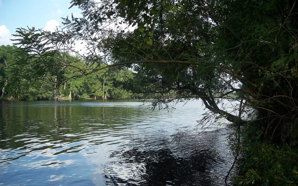
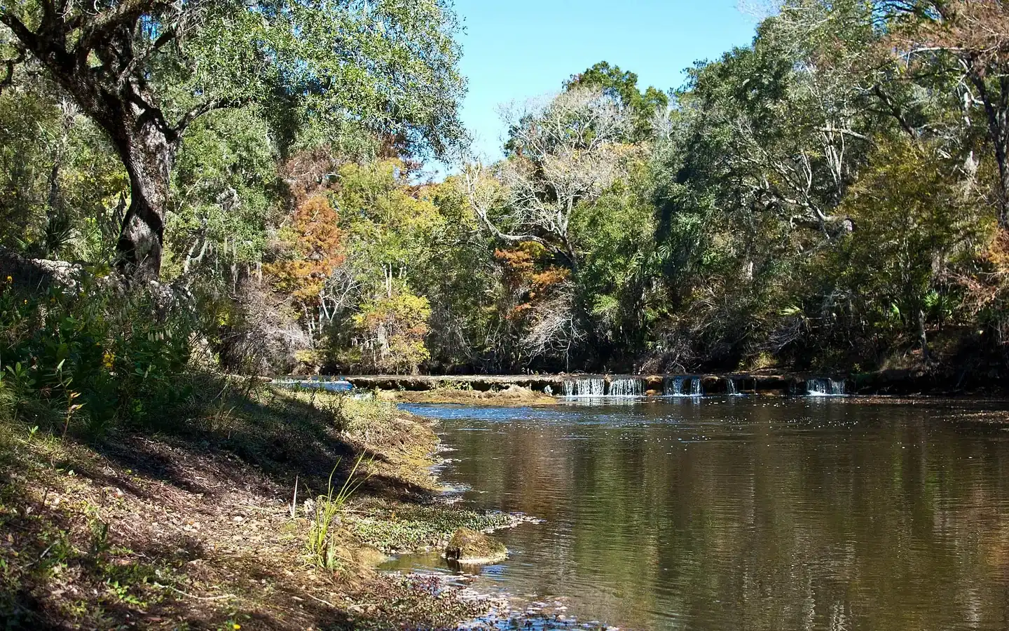
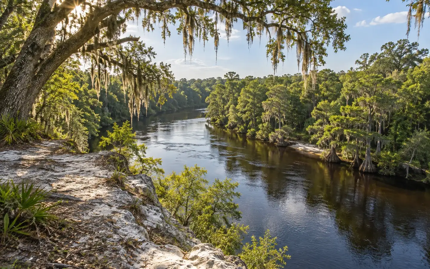
The Suwannee rises in the Okefenokee National Wildlife Refuge near Fargo, Georgia, and runs about 246 miles southwest through south Georgia and north Florida to the Gulf at the town of Suwannee. It is a blackwater river: tea-colored from the tannins it carries out of the swamp, cold and clear where springs feed into it.
The Nature Coast State Trail runs roughly 31.5 miles across Dixie, Gilchrist and Levy counties on the beds of two abandoned Atlantic Coast Line railroads, the Thomasville to Dunnellon line and the Jacksonville to Wilcox line. Those tracks were laid so timber companies could haul cypress out of the Suwannee floodplain, and in the early 1900s they took over the freight and passenger trade from the steamboats.
The City of Hawkinsville was built in Georgia in 1886 for the Hawkinsville Deepwater Boat Line at Abbeville. At 141 feet long she was the largest steamboat ever stationed on the Suwannee. Sold in 1900 to the Gulf Transportation Company of Tampa, the paddle steamer spent the next two decades carrying lumber and supplies from Branford down to Cedar Key.
Beaches in Dixie County
Each card gives the beach, its visit category and its next steps: the practical visit guide, the official site where the beach has one, and directions. Always verify current parking, fees, water quality, lifeguard coverage and posted rules before leaving.
Not identified here as clothing-optional. This category does not guarantee child safety, calm water or lifeguard coverage.
Nudity is officially permitted in all or part of the destination. Read the current notice before taking children.
Nudity may be encountered in a remote area even without an official clothing-optional designation.
Dixie County, Florida
Butler-Douglas Memorial Park, also called Horseshoe Beach Park, at 244 8th Avenue West in the town of Horseshoe Beach, run by Dixie County. The shore is rocky and strewn with oysters rather than sandy, and there is no swimming area and no lifeguard. People come for the water: a paved public boat ramp, fishing for trout and redfish in Horseshoe Cove with November the best month, and bay scallops in season, usually from June 15 through Labor Day. Restrooms, eight camping pavilions with picnic tables taken first come, first served, and RV parking; the showers are out after hurricane damage. Parking is free, and the park faces west for the sunset.
Dixie County, Florida
The north end of the Lower Suwannee National Wildlife Refuge reaches the coast here, and Shired Island is the first stop on it. Trails lead through coastal hammock, past mudflats and out onto open beach. The way in is the Dixie Mainline Trail, nine miles of unpaved road through pine flatwoods, bottomland hardwood and marsh. Elsewhere in this part of the refuge there is an accessible boardwalk over the salt marsh at Salt Creek, where bald eagles nest often, and an observation platform at Fishbone Creek with a small boat launch on the creek. There are restrooms, though not accessible ones. Open daily from sunrise to sunset, and free.
Official planning desk
 Florida disaster preparedness maps
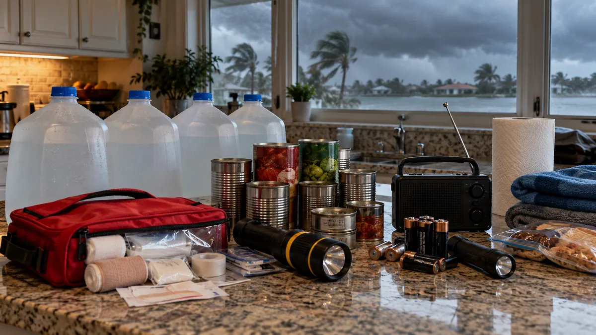
Official evacuation-zone, route and storm-surge planning maps.
Open official source ↗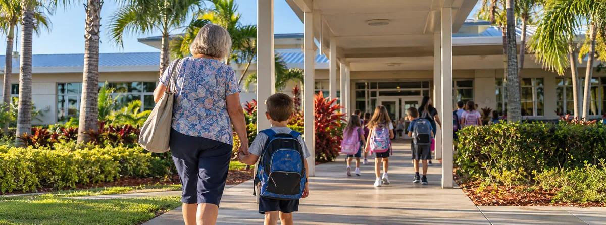 Florida school accountability reports
Current state school and district accountability information.
Open official source ↗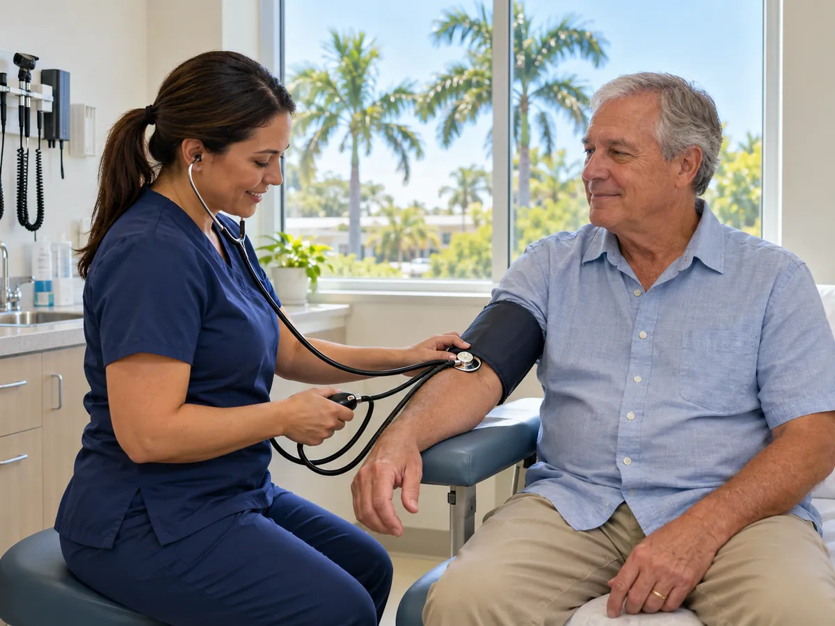 Florida community health data
County-level public health indicators and community reports.
Open official source ↗ Florida housing resources
State resources for homebuyers, renters and local assistance programs.
Open official source ↗Compare nearby counties
 Madison · Lee · GreenvilleMadison County
 Perry · Steinhatchee · Keaton BeachTaylor County
 Jasper · Jennings · White SpringsHamilton County
 Live Oak · Branford · WellbornSuwannee County
 Mayo · DayLafayette County