Apalachicola
Start with Apalachicola to understand the established center, nearby services and everyday rhythm within Franklin County.
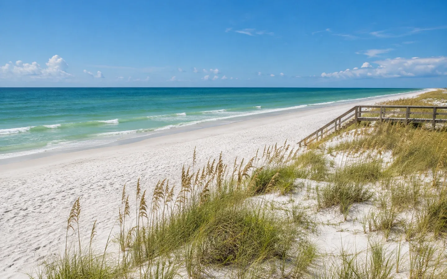
Complete Florida county guide
Working waterfronts, protected landscapes, seafood heritage and uncrowded beaches define the Forgotten Coast.
Start with daily life
Working waterfronts, protected landscapes, seafood heritage and uncrowded beaches define the Forgotten Coast.
Use this guide as a first-pass planning tool. On a scouting trip, compare actual commute routes, insurance requirements, medical access, school or training options and the places you would use in an ordinary week—not only the best-known attraction.
The numbers that matter if you are moving
U.S. Census Bureau, American Community Survey, published January 2026, read September 19, 2026. Survey figures are estimates; median home value is what owners estimate their home is worth, not a sale price.
Relocation decision desk
Property cost, flood and wind, schools, healthcare, daily travel and storm readiness.
How to research a Florida county →Communities to compare
These are starting points, not a ranking. Add nearby towns and neighborhoods as you learn your daily route and housing priorities.
Start with Apalachicola to understand the established center, nearby services and everyday rhythm within Franklin County.
Use Carrabelle to compare housing patterns, main-road access and the shopping or medical stops used during a normal week.
Walk or drive through St. George Island at different times of day to judge traffic, neighborhood character and access to outdoor space.
Hospitals in Franklin County
From the state's own hospital list. Each card opens the state's record for that hospital: its address, phone, services and inspection reports.
How do I compare hospitals in Florida? →How do I find a doctor who takes Medicare? →Search the state's hospital list ↗
Source: Florida Agency for Health Care Administration, FloridaHealthFinder, Locate a Facility (hospitals), read September 25, 2026.
Evergreen county experiences
Use enduring natural, historic and cultural places to understand the area beyond a real-estate showing.
This park takes up the eastern end of St. George Island, about ten miles southeast of Eastpoint, reached by a four-mile bridge off U.S. 98. It was created in 1963 and is named for Dr. Julian G.
The Apalachicola National Estuarine Research Reserve covers close to 250,000 acres of river, marsh and bay along what Florida calls the Forgotten Coast, taking in the lower 52 miles of the Apalachicola River and the estuary it feeds. UNESCO has designated it a Biosphere Reserve.
Tates Hell covers more than 202,000 acres, roughly 315 square miles, between Eastpoint, Sumatra and Carrabelle. The name comes from a story: in 1875 a man is said to have staggered out of the swamp and told the people who found him, my name is Cebe Tate, and I just came from Hell.
The Apalachicola Historic District is bounded by the Apalachicola River, the bay, and 17th and Jefferson Streets, and holds 652 historic buildings, with construction dates starting in 1836. It went on the National Register of Historic Places on November 21, 1980.
The Crooked River Lighthouse was built in 1895 to replace the Dog Island light, which a hurricane had destroyed in 1875. It guided timber ships and local fishing boats through the pass between Dog Island and St. George Island.
The first light here went up in 1833 near the west end of St. George Island, 65 feet tall, marking the way into Apalachicola Bay while the town was a cotton port. A second tower built in 1847 and 1848 was destroyed by a hurricane in 1851.
Thomas Orman built this house in Apalachicola in 1838. He was a cotton merchant, in business from 1834 into the 1880s, and his trade helped make the town one of the main cotton ports on the Gulf.
The Carrabelle History Museum sits at 106 Southeast Avenue B in downtown Carrabelle and tells the story of this town from prehistory forward. Its earliest room holds Apalachee artifacts going back more than 2,000 years, along with Civil War material, railroad history and fossils, and makes the case that Carrabelle's deep-water harbor made it a trading port long before Europeans came.
David G. Raney came from Virginia to Apalachicola in 1834 with his wife Harriett, became a prosperous cotton trader and served twice as mayor. He built this house in 1838, four years after arriving, looking out over the waterfront on Market Street where his business was.
St. Vincent National Wildlife Refuge was established in 1968, after The Nature Conservancy bought the island for 2.2 million dollars and passed it on. It covers 12,490 acres: the triangular St. Vincent Island, the 46-acre Pig Island in St. Joseph Bay, and 86 acres on the Franklin County mainland along Road 30A.
Beaches in Franklin County
Each card gives the beach, its visit category and its next steps: the practical visit guide, the official site where the beach has one, and directions. Always verify current parking, fees, water quality, lifeguard coverage and posted rules before leaving.
Not identified here as clothing-optional. This category does not guarantee child safety, calm water or lifeguard coverage.
Nudity is officially permitted in all or part of the destination. Read the current notice before taking children.
Nudity may be encountered in a remote area even without an official clothing-optional designation.
Franklin County, Florida
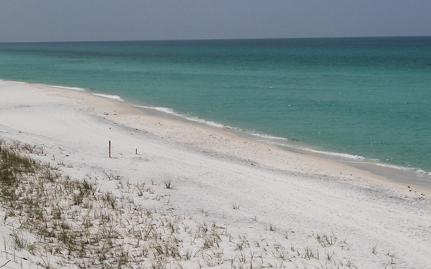
A narrow peninsula with about eight miles of quiet shoreline, reached from U.S. 98 by Alligator Point Road. The long white-sand beach is known for its fishing from spring through fall: trout, redfish and pompano, and runs of tarpon. Public access is limited to a few spots with little parking and no public facilities; the facilities, picnic pavilions and easy parking are at Bald Point State Park on the same point. Two boat ramps are on the bay side.
Franklin County, Florida
Two beaches on Apalachee Bay, Sunrise Beach and North End Beach, both with mobi-mats onto the sand, and a beach wheelchair that can be booked by calling the park office. Eighteen miles of multi-use trail for walking and biking. An accessible boardwalk and observation deck look over the marsh near North End Beach, and the birding is the reason many people come: nesting and migrating shorebirds, warblers, wading birds and raptors. Accessible picnic pavilions at all three beach access points, outdoor showers at Sunrise Beach, and canoe and kayak launches on Tucker Lake and Chaires Creek. No lifeguards, and no pets on the beach.
Franklin County, Florida
Carrabelle Beach Park at 1860 Highway 98 West, with restrooms, ten picnic pavilions, an outdoor shower and park grills. Carrabelle itself is a coastal town built on the seafood industry, with shops, cafes and galleries.
Franklin County, Florida
A 22-mile barrier island with Gulf water on one side and bay marsh on the other, good for swimming, paddling and fishing, with a resort community and places to stay along it. The state park covers the eastern end. Franklin County also runs two parks on the island: the St. George Island Lighthouse Park at 2 Gulf Beach Drive, and Regatta Park, which has a canoe and kayak launch and picnic facilities.
Franklin County, Florida
Nine miles of beach at the east end of the island, four of them reachable by car on the main drive, and Dr. Beach named it the best beach in the country in 2023. The campground has 60 sites with power and water a quarter mile from the sand, plus primitive carry-in camping at Gap Point reached on foot or by boat. The bay side is shallow enough for small boats and paddling, with two natural ramps for boats under 24 feet and canoe and kayak rentals at the ranger station. Almost 300 bird species have been recorded here, and an observation platform looks over the old dunes. Surf and bay fishing brings in flounder, redfish, sea trout, pompano and whiting. Hot showers at the campground, cold rinse-off showers at the beach, beach wheelchairs and accessible nature trails. Pets on a six-foot leash in marked areas, never on the beach.
Franklin County, Florida
One of the barrier islands sheltering this coast, reached only by boat, and used by primitive campers and by people who want a beach with nobody on it.
Official planning desk
 Florida disaster preparedness maps
Official evacuation-zone, route and storm-surge planning maps.
Open official source ↗ Florida school accountability reports
Current state school and district accountability information.
Open official source ↗ Florida community health data
County-level public health indicators and community reports.
Open official source ↗ Florida housing resources
State resources for homebuyers, renters and local assistance programs.
Open official source ↗Compare nearby counties
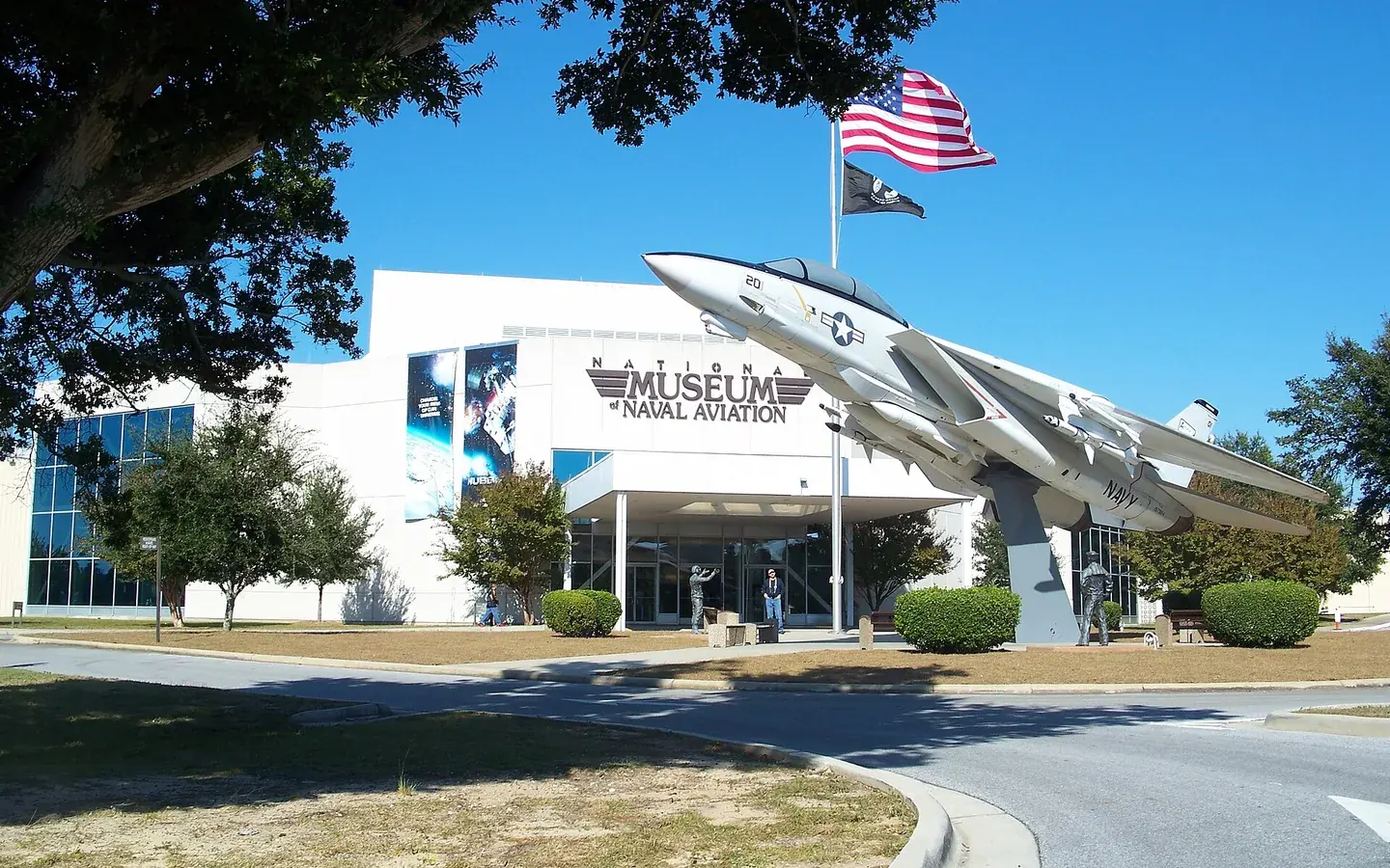 Pensacola · Pensacola Beach · Perdido KeyEscambia County
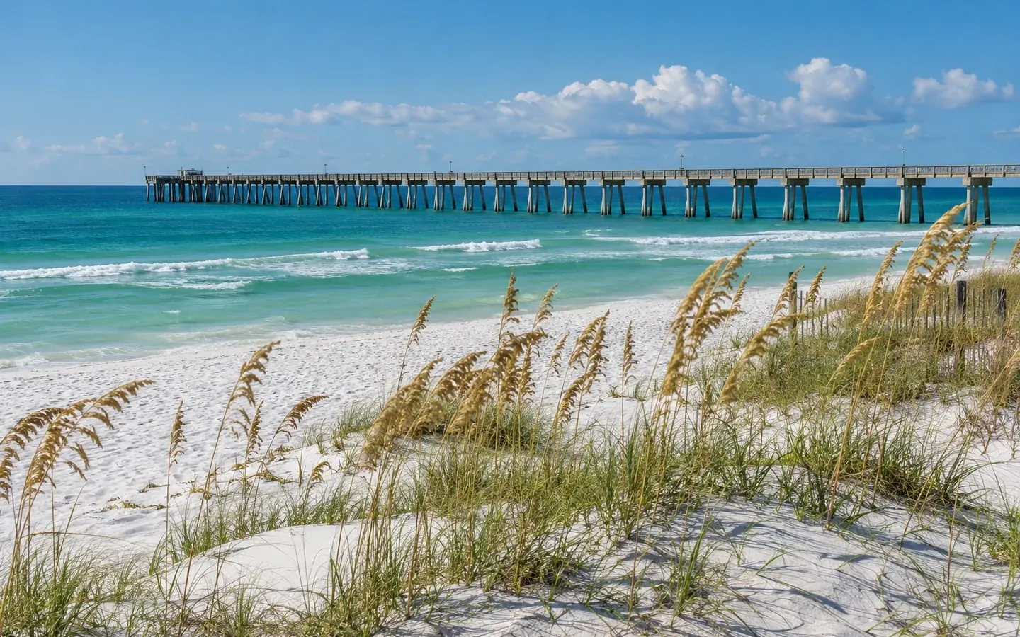 Milton · Pace · NavarreSanta Rosa County
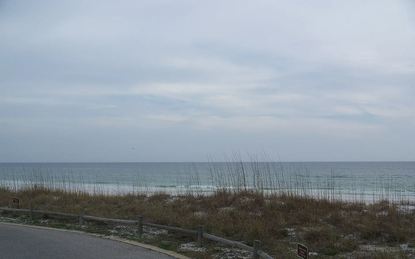 Fort Walton Beach · Destin · NicevilleOkaloosa County
 DeFuniak Springs · Freeport · South WaltonWalton County
 Bonifay · Ponce de Leon · EstoHolmes County