Macclenny
Start with Macclenny to understand the established center, nearby services and everyday rhythm within Baker County.
Complete Florida county guide
Forests, rural homes and Interstate 10 access provide a quieter alternative west of Jacksonville.
Start with daily life
Forests, rural homes and Interstate 10 access provide a quieter alternative west of Jacksonville.
Use this guide as a first-pass planning tool. On a scouting trip, compare actual commute routes, insurance requirements, medical access, school or training options and the places you would use in an ordinary week—not only the best-known attraction.
The numbers that matter if you are moving
U.S. Census Bureau, American Community Survey, published January 2026, read September 19, 2026. Survey figures are estimates; median home value is what owners estimate their home is worth, not a sale price.
Relocation decision desk
Property cost, flood and wind, schools, healthcare, daily travel and storm readiness.
How to research a Florida county →Communities to compare
These are starting points, not a ranking. Add nearby towns and neighborhoods as you learn your daily route and housing priorities.
Start with Macclenny to understand the established center, nearby services and everyday rhythm within Baker County.
Use Glen St. Mary to compare housing patterns, main-road access and the shopping or medical stops used during a normal week.
Hospitals in Baker County
From the state's own hospital list. Each card opens the state's record for that hospital: its address, phone, services and inspection reports.
The state licenses one more hospital in Baker County with no emergency room; its list names it.
How do I compare hospitals in Florida? →How do I find a doctor who takes Medicare? →Search the state's hospital list ↗
Source: Florida Agency for Health Care Administration, FloridaHealthFinder, Locate a Facility (hospitals), read September 25, 2026.
Evergreen county experiences
Use enduring natural, historic and cultural places to understand the area beyond a real-estate showing.
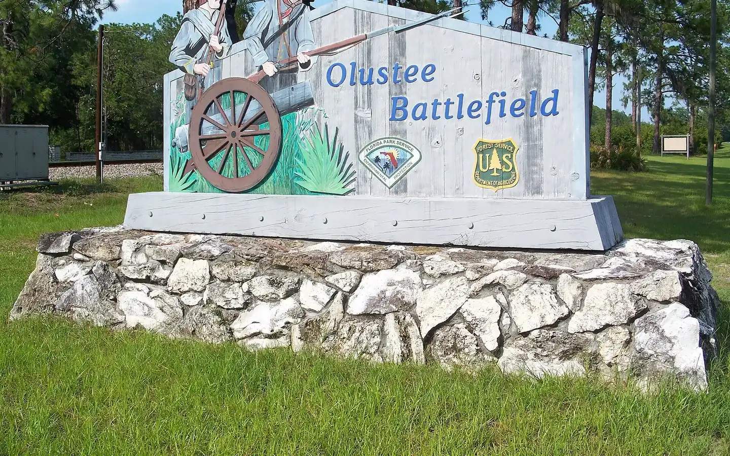
More than 10,000 cavalry, infantry and artillery troops met here on the afternoon of February 20, 1864, in open pine woods east of Lake City. The fighting lasted about five hours and produced 2,807 casualties.
President Herbert Hoover proclaimed the forest on July 10, 1931. It covers roughly 200,000 acres of northeast Florida across parts of Baker, Columbia, Bradford and Hamilton counties, about fifty miles west of Jacksonville, and most of it is pine flatwoods broken by cypress and hardwood swamp.
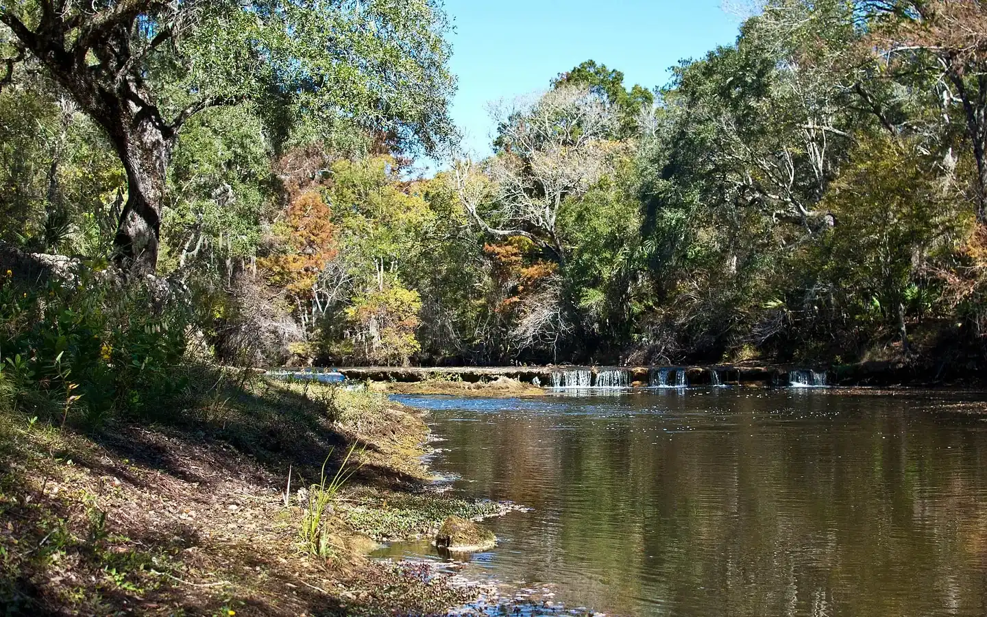
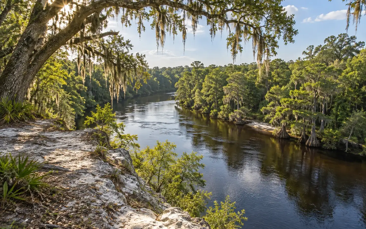
The river starts as a small stream off Trail Ridge, works its way through the Okefenokee Swamp in Georgia, and comes out near Baxter and Moniac on the northern edge of Baker County. From there it runs south, then east, then north, then southeast again, a course so indirect that the horseshoe bend is a local landmark in its own right, and reaches the Atlantic between Fernandina Beach and St. Marys, Georgia, 126 miles from where it began.
John M. Bethea State Forest covers nearly 40,000 acres along the Florida and Georgia border, and three miles of its edge is the St. Marys River, which is the state line itself. Paddlers put in at the Maple Set Recreation Area and pass ancient cypress standing on the banks.
Heritage Park Village is a collection of historic buildings in Macclenny put together to tell the history of Baker County. It is laid out as a village of storefronts rather than as a single museum, and what is inside them is specific: a Rexall drugstore, the Blue Haven Restaurant, the Northeast Florida Telephone Company, the Davis Oil and Gas Company, a Moonshine Garage and car museum, a grocery, a turpentine distillery, a hat shop, a pharmacy, a fabric store, the Darbyville Jail, a railroad depot with a caboose, a fire truck, a barber shop and a family chapel.
St. Marys Shoals Park runs to 2,568 acres with the St. Marys River along its northern boundary, and it gives the public access to nearly two miles of that tannin-stained water and the white sandy shores beside it. The park is divided by use and it matters which end you go to.
Ocean Pond Campground sits in the Osceola National Forest on the shore of Ocean Pond, a lake two miles across with a shallow sandy beach. There are 67 sites in all: nineteen with electric and water hookups, twenty-eight with water only, and twenty that are primitive.
Official planning desk
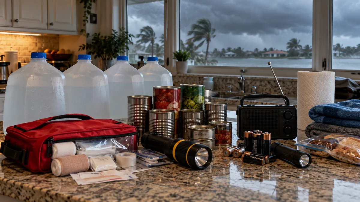 Florida disaster preparedness maps
Official evacuation-zone, route and storm-surge planning maps.
Open official source ↗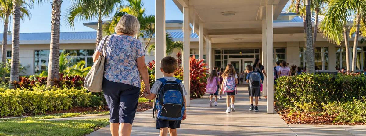 Florida school accountability reports
Current state school and district accountability information.
Open official source ↗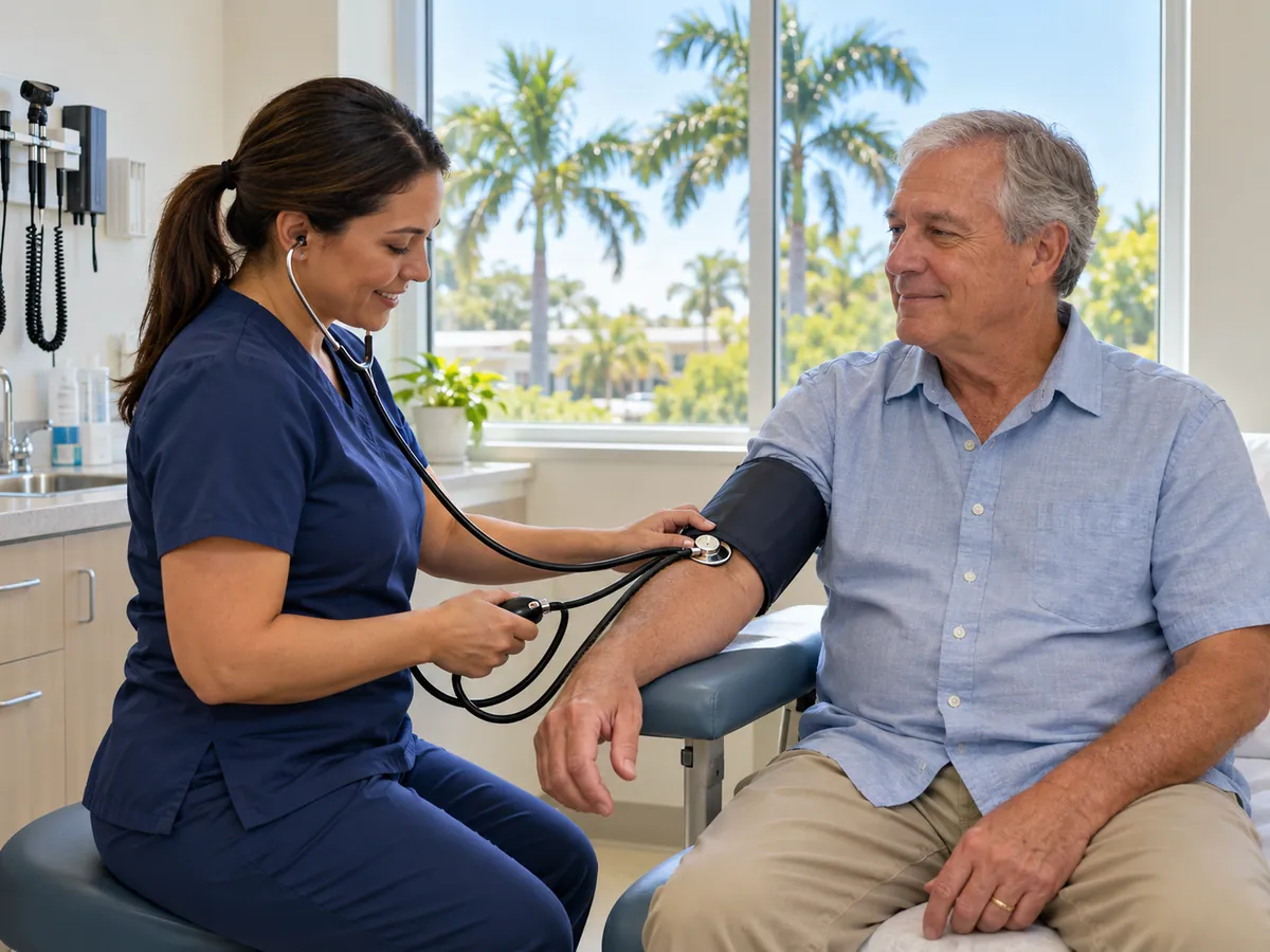 Florida community health data
County-level public health indicators and community reports.
Open official source ↗ Florida housing resources
State resources for homebuyers, renters and local assistance programs.
Open official source ↗Compare nearby counties
 Madison · Lee · GreenvilleMadison County
 Perry · Steinhatchee · Keaton BeachTaylor County
 Jasper · Jennings · White SpringsHamilton County
 Live Oak · Branford · WellbornSuwannee County
 Mayo · DayLafayette County