Choose river, east county or island
Match the home to the real work, healthcare and weekly service corridor before comparing very different parts of Manatee.
Open economic data ↗
Complete Florida county guide
A growing county where new master-planned communities, an active riverfront city and beloved Gulf islands share one market.
Start with daily life
Manatee County joins Bradenton and Palmetto on the Manatee River, the master-planned growth of Lakewood Ranch and the barrier-island communities around Anna Maria. Those locations offer very different housing, transportation, insurance and daily-service patterns.
Healthcare, tourism, construction, education, manufacturing, logistics, agriculture and professional services support local work, while many households connect south toward Sarasota. I-75, U.S. 41, U.S. 301 and a limited set of bridges organize the county’s routine travel.
Scout the mainland and the coast separately. Drive the Manatee River or island bridge you would use, compare established neighborhoods with new development, and verify association, flood, evacuation, utilities and healthcare conditions for a sample address.
The numbers that matter if you are moving
U.S. Census Bureau, American Community Survey, published January 2026, read September 19, 2026. Survey figures are estimates; median home value is what owners estimate their home is worth, not a sale price.
Relocation decision desk
Do not rely on a countywide impression for an address-level decision. Use these questions during the shortlist, scouting and offer stages.
Match the home to the real work, healthcare and weekly service corridor before comparing very different parts of Manatee.
Open economic data ↗Test Manatee River, Sarasota-bound or barrier-island bridge travel during ordinary and busy visitor periods.
Open economic data ↗Check future land use, transportation projects and construction around fast-growing east-county communities.
Open Census estimates ↗Include CDD or district assessments, association dues, amenity obligations and buildout plans in the housing comparison.
Find a county official ↗Review the exact flood zone, evacuation level, roof, elevation, drainage, bridge access and insurance for coastal and river locations.
Open insurance guidance ↗Confirm routine and specialty care from the address, including travel toward Sarasota when the required provider is outside the county.
Open health data ↗Communities to compare
These are starting points, not a ranking. Add nearby towns and neighborhoods as you learn your daily route and housing priorities.
Bradenton is the county’s primary city with a riverfront downtown, established neighborhoods, healthcare and access to coastal and east-county destinations. Compare west, central and east Bradenton by bridge, flood and I-75 access.
Palmetto sits north of the Manatee River with a smaller city center, port and industrial access and growth toward I-75. Test bridge travel into Bradenton or Sarasota and verify flood and drainage conditions.
Lakewood Ranch is a large master-planned community spanning east Manatee and neighboring Sarasota County. Confirm the actual county, district, school assignment, association obligations and route to employment before comparing amenities.
Anna Maria represents island living with beaches, a small-city pattern and strong visitor demand. Bridge dependence, evacuation, wind and flood exposure, rental rules and property maintenance must be priced alongside the setting.
Five relocation checks
The regional pattern is a starting point. Verify the answer for the exact city, neighborhood and property you are considering.
 01
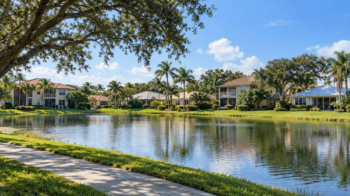
01Bradenton, Palmetto, Lakewood Ranch and Anna Maria offer different housing, service and storm profiles. The county should be compared as several local markets.
VERIFY LOCALLY BEFORE YOU COMMIT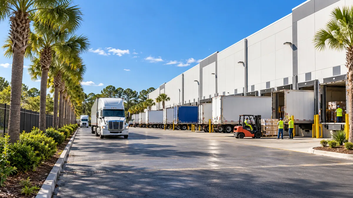 02
02Healthcare, tourism, manufacturing, construction and services support Manatee, while cross-county employment makes the southbound route important for many households.
VERIFY LOCALLY BEFORE YOU COMMIT 03
03Bradenton and the regional Sarasota-Manatee corridor provide strong care options. Island and rural-east addresses should be checked for ordinary and emergency travel.
VERIFY LOCALLY BEFORE YOU COMMIT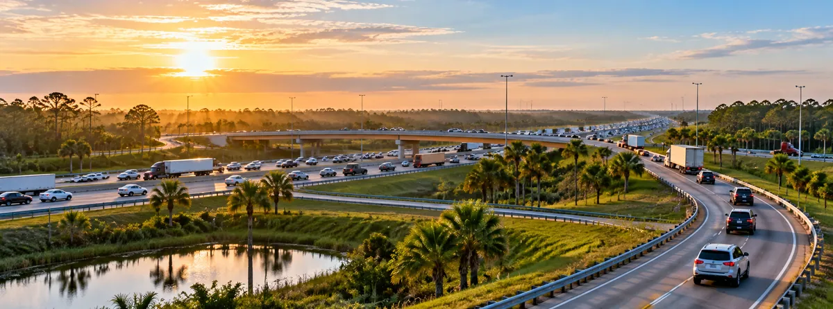 04
04The interstate serves regional growth, while U.S. 41, U.S. 301, river crossings and island bridges shape local convenience. Surface-road time belongs in the test.
VERIFY LOCALLY BEFORE YOU COMMIT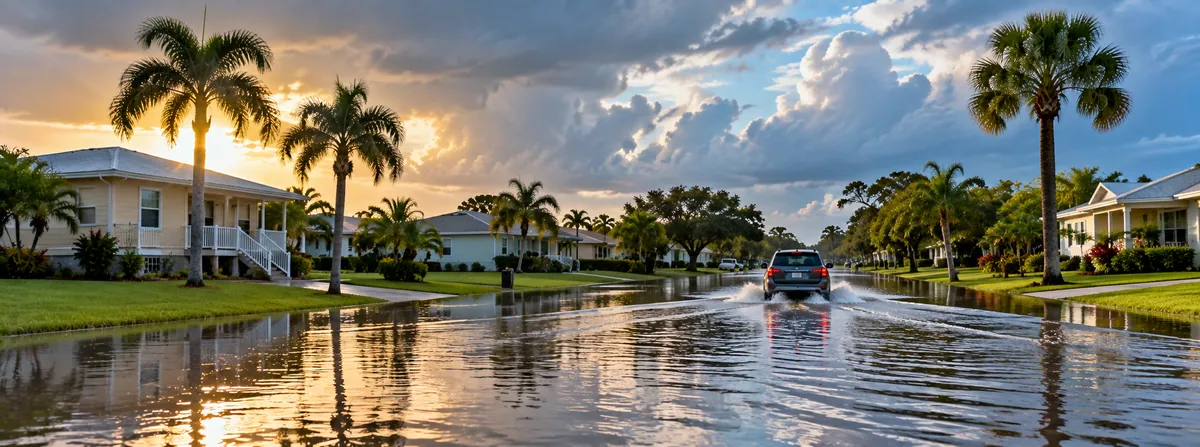 05
05Storm surge, river flooding, heavy rain, wind and evacuation affect islands and mainland locations differently. Verify the route, building and policy.
VERIFY LOCALLY BEFORE YOU COMMITHospitals in Manatee County
From the state's own hospital list. Each card opens the state's record for that hospital: its address, phone, services and inspection reports.
383 licensed beds
The state's record ↗Bradenton295 licensed beds
The state's record ↗Lakewood Ranch180 licensed beds
The state's record ↗The state licenses two more hospitals in Manatee County with no emergency room; its list names them.
How do I compare hospitals in Florida? →How do I find a doctor who takes Medicare? →Search the state's hospital list ↗
Source: Florida Agency for Health Care Administration, FloridaHealthFinder, Locate a Facility (hospitals), read September 25, 2026.
Evergreen county experiences
Use enduring natural, historic and cultural places to understand the area beyond a real-estate showing.
De Soto came ashore somewhere on this stretch of coast with more than six hundred soldiers, under orders from King Charles the Fifth to conquer, populate and pacify La Florida. What followed was four years and four thousand miles of marching through the southeast, and it found no gold.
It was farmland before the county bought it, and the mangrove forest, salt marsh and tidal creeks here were engineered back into existence rather than simply fenced off, which makes it one of the larger restoration projects on this coast. More than ten and a half miles of path run through it, with a perimeter loop of about seven miles that can be cycled.
From north to south they are Anna Maria, Holmes Beach and Bradenton Beach, each with its own government, and the differences between them are real enough that residents will correct you. Gulf Drive runs the length of the island and a free trolley works up and down it, connecting at either end to the county and Sarasota bus systems, which is why a visitor can leave the car parked for a week.
Community leaders founded it in 1946 and it opened the following year as the South Florida Museum, moving from the old Memorial Pier to its present building in 1966 and taking the Bishop name in 2019. The collection runs from prehistory to the present, and its archaeological heart is the Montague Tallant collection, gathered from sites around this part of the coast.
In the early 1980s an eight-story condominium was proposed for this ground. The objection from the community was strong enough that the county and the state bought it instead, taking the first hundred and ninety-five acres under the state conservation lands program on October 23, 1991, and adding to it since.
Major Robert Gamble built it between 1845 and 1850 out of tabby, a concrete of lime, oyster shell, sand and water, with walls two feet thick and a colonnade around the front. The sugarcane plantation it stood at the center of reached three thousand five hundred acres, and probably more than two hundred enslaved people lived and worked on it at its height.
The area had gone downhill badly. Bradenton General Hospital occupied part of it from 1937, and when that went the blocks around were left with a stock of cheap old cottages and not much else.
This is the largest single stretch of sand on the south end of the island and the one with the most parking, all of it free, shaded by rows of Australian pines that make the lot bearable in August. The sand is flat and white and the swimming is gentle.
The park opened on July 4, 1976, and is run by the Manatee County Historical Commission. The centerpiece is the Old Manatee County Courthouse of 1860, the oldest wooden courthouse still standing in Florida, and around it the commission has assembled the buildings a nineteenth century settlement needed.
The land here was settled in the nineteenth century and the town of Rye has gone, but the pioneer cemetery is still in the woods and one of the marked trails leads to it. Five signposted routes cross the preserve.
It replaced Anthony T. Rossi Waterfront Park, built with federal grant money in the 1980s and largely unused by the end. The Downtown Development Authority commissioned the redesign from Kimley-Horn and the result is a continuous strip of things to do rather than a promenade: a skatepark, an amphitheater seating four hundred, playgrounds, a splash pad, sand volleyball courts, a botanical walkway, picnic areas and a day dock where a boat can tie up for a few hours.
Cortez was settled by fishing families from North Carolina and has worked the water ever since, which makes it one of the last surviving commercial fishing villages on this coast rather than a former one. The Cortez Rural Graded Schoolhouse was built in 1912 for seven thousand seven hundred and forty-six dollars and seventy-one cents and taught the village's children until 1961, when they were moved to Palma Sola Elementary.
Hurricanes Helene and Milton destroyed much of the structure in 2024. Reconstruction is under way and, as reported in August 2026, the pier is expected to reopen in the fall of that year, so anyone planning a visit should check whether it has opened before setting out.
The ground was the Manatee County Nursery and was saved by local effort in 1990, with a foundation incorporated to run it in 1993. It sits in a sheltered warm pocket that does not get frost, and that one accident of geography is what the whole collection rests on: plants are grown here that would be killed a few miles inland in a cold January.
Only Fenway Park of 1912 and Wrigley Field of 1914 are older among the grounds major league teams still play on. It was City Park to begin with, then Ninth Street Park, then Braves Field, and in 1962 it was named McKechnie Field for Bill McKechnie, the Hall of Fame manager who lived in Bradenton.
Beaches in Manatee County
Each card gives the beach, its visit category and its next steps: the practical visit guide, the official site where the beach has one, and directions. Always verify current parking, fees, water quality, lifeguard coverage and posted rules before leaving.
Not identified here as clothing-optional. This category does not guarantee child safety, calm water or lifeguard coverage.
Nudity is officially permitted in all or part of the destination. Read the current notice before taking children.
Nudity may be encountered in a remote area even without an official clothing-optional designation.
Manatee County, Florida
The northern tip of Anna Maria Island, at 793 North Shore Drive, where the Gulf meets Tampa Bay, with a view across the water to the Sunshine Skyway Bridge. Soft white sand and many birds. There are no facilities, no restaurants, no lifeguards and no parking lot, only a little parking on the street. Swimming is not recommended: the currents and rip tides here are strong.
Manatee County, Florida
Anna Maria Bayfront Park, 310 North Bay Boulevard, and it faces Tampa Bay rather than the Gulf, with a view across to Egmont Key and the Sunshine Skyway Bridge. The Anna Maria City Pier is close by at the northeast corner of the island. Shade, restrooms, showers, picnic tables and benches, grills, water fountains, and a pavilion that can be reserved with eleven picnic tables, two grills and a concrete counter. Sunrise to sunset. No lifeguard here.
Manatee County, Florida
The City of Anna Maria writes the rules for its own stretch of sand and they are strict. No pets of any species, no alcohol, no glass of any kind, and no grills or fires, although grills are allowed at Bay Front Park on North Bay Drive. No motorized vehicles, golf carts included, and no bicycles. No launching a motorized vessel off the beach and no anchoring one to it. If you dig a hole you must fill it back in, and all furniture, equipment and trash comes off the beach with you at the end of the day. From May 1 through October 31 the turtles are nesting, and artificial light that reaches the beach, directly or indirectly, is prohibited.
Manatee County, Florida
4000 State Road 64 at Gulf Drive in Holmes Beach: soft white sand, and one of only three beaches in the county with professional lifeguards and medical rescue. Guards work 9 a.m. to 5 p.m. most of the year and 9 a.m. to 7 p.m. from Memorial Day through Labor Day. The Anna Maria Island Beach Cafe and a gift shop are on site. Restrooms, showers, changing cabanas, a children's playground, sand volleyball from sunrise to sunset, picnic tables and grills. Wheelchairs are lent free from the staff shed by the concessions, and a beach mat 100 feet long and 6 feet wide runs onto the sand north of the cafe. Open sunrise to 10 p.m. The lots can flood in summer.
Manatee County, Florida
One of the three cities on Anna Maria Island, and its shore is reached from most of the side streets running off Gulf Drive. Manatee Public Beach sits inside the city and is the one with full facilities and lifeguards. A free trolley runs the length of the island north and south, which is worth knowing because parking at the street ends is limited.
Manatee County, Florida
The city north of Coquina Beach on Anna Maria Island, with shops and casual places to eat set back from the sand. The free island trolley stops along it. The county's lifeguards do not cover this stretch; the nearest guarded sand is Coquina to the south and Cortez Beach.
Manatee County, Florida
One of only three beaches in Manatee County with professional lifeguards and medical rescue, and at the same time a beach with no facilities at all. The water is calm and the county describes it as inviting for families. Guards work 9 a.m. to 5 p.m. Bring whatever you need, because there is nothing there to buy or borrow.
Manatee County, Florida
2650 Gulf Drive in Bradenton Beach, the longest beach on the island, with the remains of old piers still standing out in the water. One of the three beaches in the county with lifeguards and medical rescue: 9 a.m. to 5 p.m. from Labor Day through Memorial Day and 9 a.m. to 7 p.m. through the summer. Sand volleyball, restrooms, showers, changing cabanas, benches, picnic tables and grills, a playground, bike racks and a trolley stop. Concessions and a gift shop. Free wheelchairs, first come. Three pavilions can be reserved, $85 to $95 plus tax, holding between 16 and 96 people. Sunrise to sunset, with reserved pavilions running to 10 p.m. The lots can flood in summer.
Manatee County, Florida
Longboat Key has three public beaches, and parking is limited at all of them: this one, Whitney Beach at 1,300 feet, and Greer Island at the north end of the key.
Manatee County, Florida
Also called Beer Can Island Beach, at the north end of Longboat Key: about 2,000 feet of shore, and shelling is what people come for. One of the key's three public beaches, and parking is limited at all three.
Official planning desk
 Manatee County Government
Official county services, planning, departments and resident information.
Open official source ↗ Manatee Transportation Planning
County roadway planning, development review and mobility analysis.
Open official source ↗ Manatee Emergency Management
Current alerts, evacuation, shelter and storm-preparation guidance.
Open official source ↗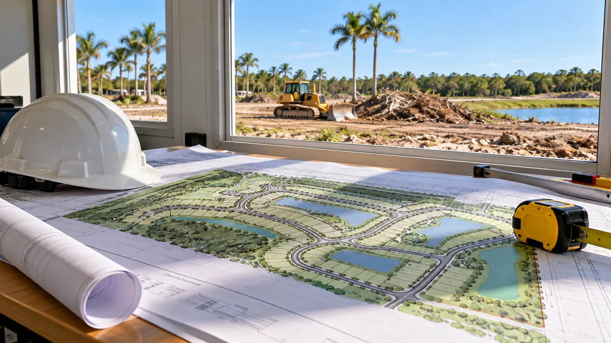 Manatee Comprehensive Planning
Long-range land use, transportation, housing, utility and environmental policy.
Open official source ↗Compare nearby counties
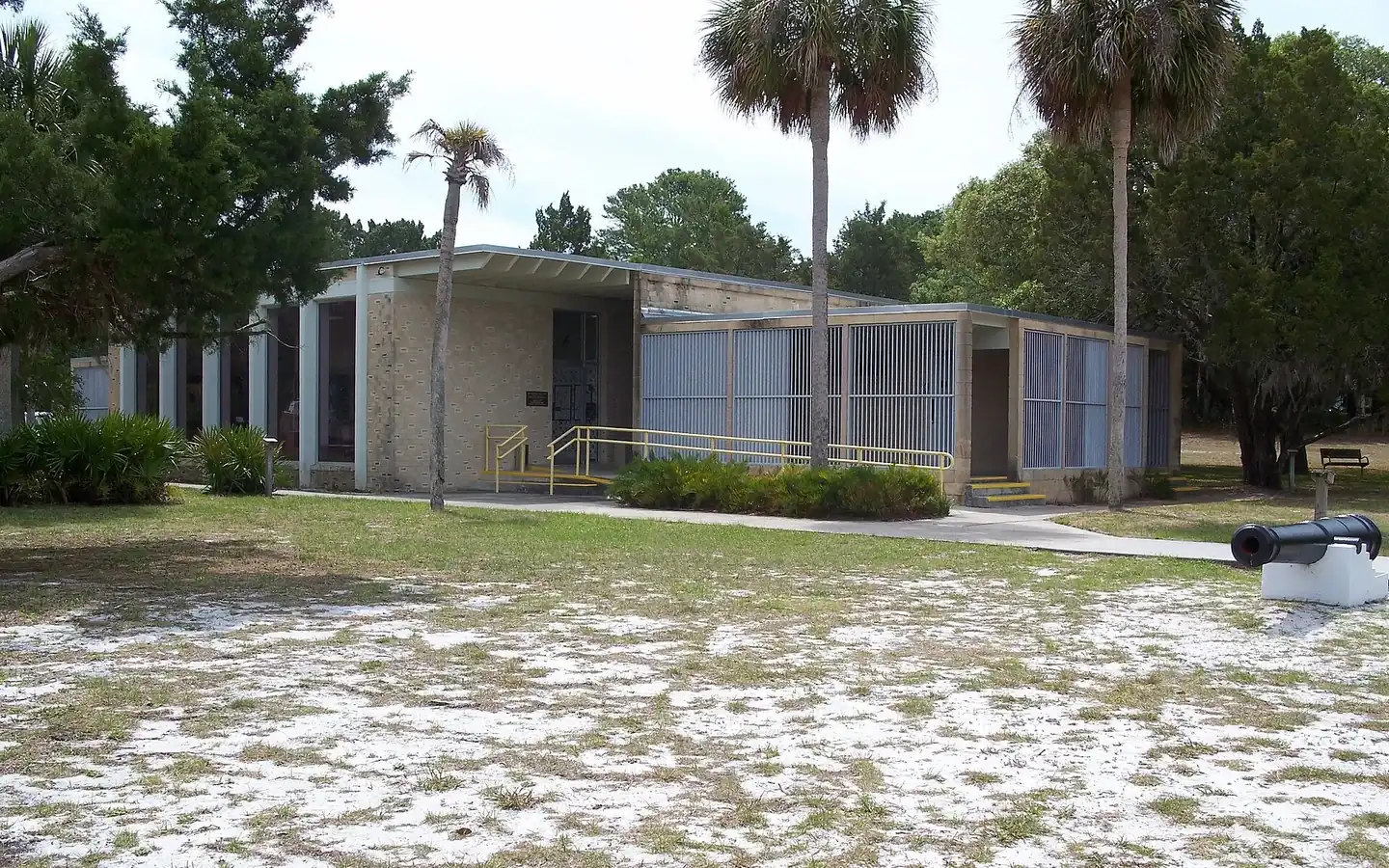 Cedar Key · Chiefland · WillistonLevy County
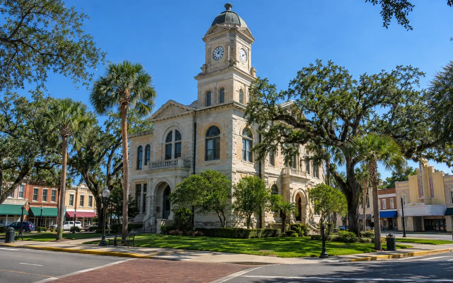 Inverness · Crystal River · HomosassaCitrus County
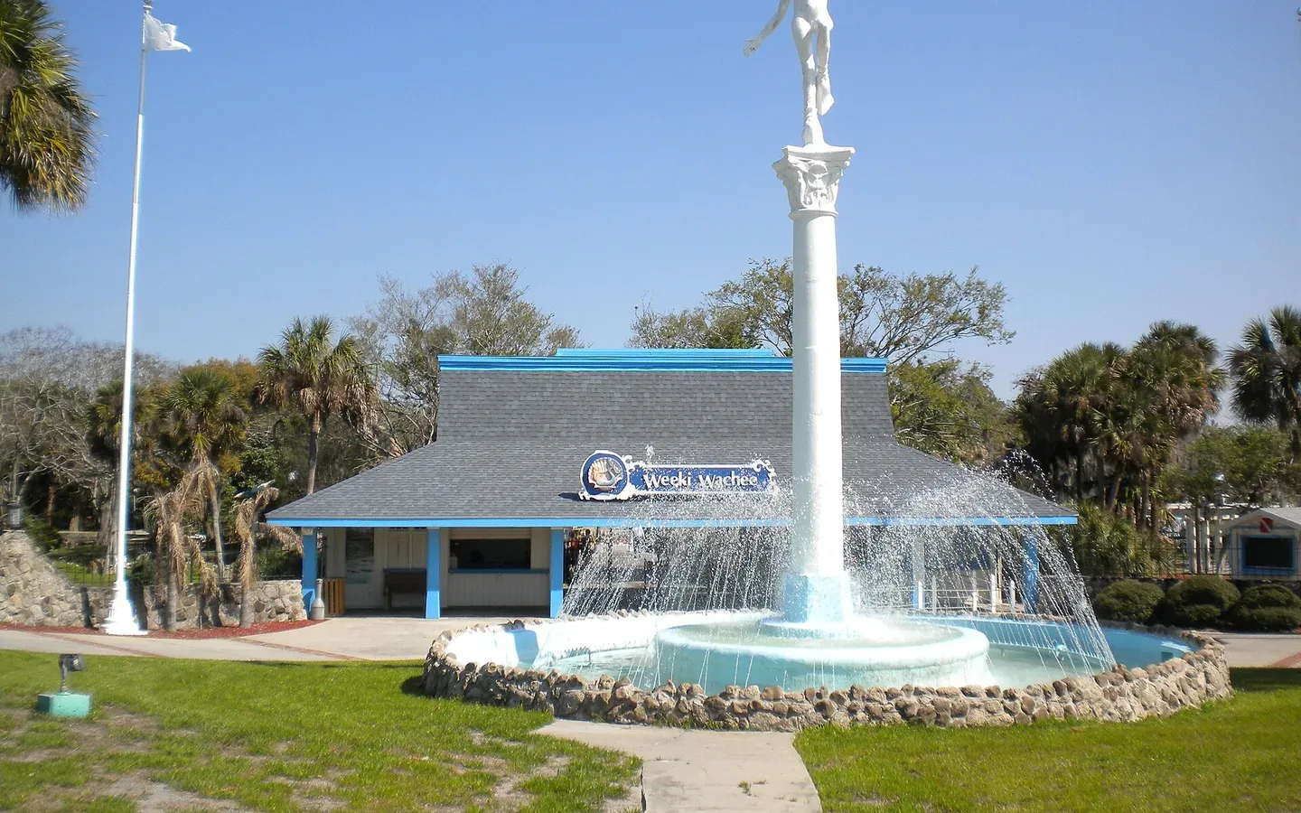 Brooksville · Spring Hill · Weeki WacheeHernando County
 New Port Richey · Wesley Chapel · Dade CityPasco County
 St. Petersburg · Clearwater · DunedinPinellas County