Port St. Joe
Start with Port St. Joe to understand the established center, nearby services and everyday rhythm within Gulf County.
Complete Florida county guide
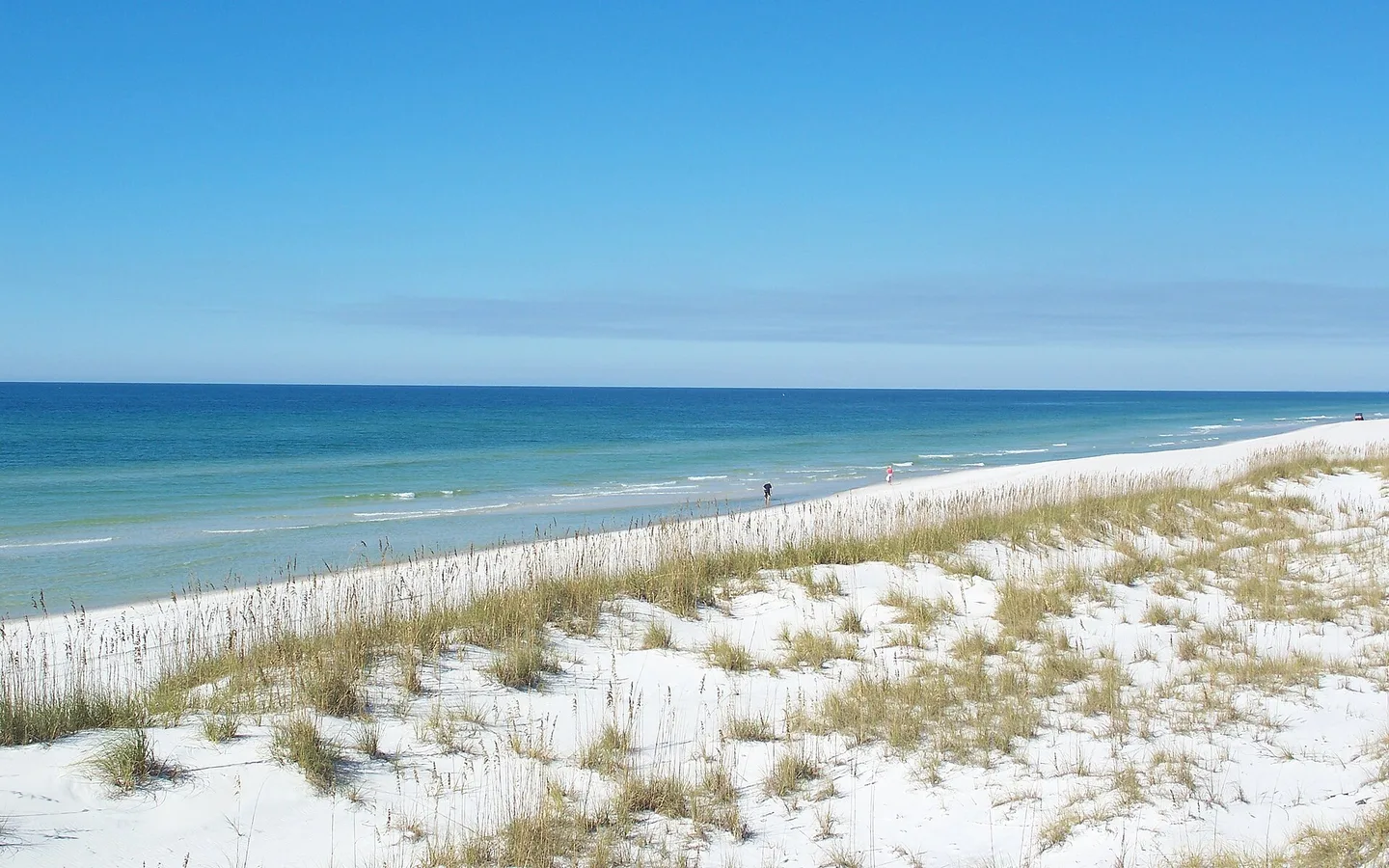
A lightly developed coast, bay and river communities and a renewed Port St. Joe create a relaxed Gulf lifestyle.
Start with daily life
A lightly developed coast, bay and river communities and a renewed Port St. Joe create a relaxed Gulf lifestyle.
Use this guide as a first-pass planning tool. On a scouting trip, compare actual commute routes, insurance requirements, medical access, school or training options and the places you would use in an ordinary week—not only the best-known attraction.
The numbers that matter if you are moving
U.S. Census Bureau, American Community Survey, published January 2026, read September 19, 2026. Survey figures are estimates; median home value is what owners estimate their home is worth, not a sale price.
Relocation decision desk
Property cost, flood and wind, schools, healthcare, daily travel and storm readiness.
How to research a Florida county →Communities to compare
These are starting points, not a ranking. Add nearby towns and neighborhoods as you learn your daily route and housing priorities.
Start with Port St. Joe to understand the established center, nearby services and everyday rhythm within Gulf County.
Use Wewahitchka to compare housing patterns, main-road access and the shopping or medical stops used during a normal week.
Walk or drive through Mexico Beach at different times of day to judge traffic, neighborhood character and access to outdoor space.
Hospitals in Gulf County
From the state's own hospital list. Each card opens the state's record for that hospital: its address, phone, services and inspection reports.
How do I compare hospitals in Florida? →How do I find a doctor who takes Medicare? →Search the state's hospital list ↗
Source: Florida Agency for Health Care Administration, FloridaHealthFinder, Locate a Facility (hospitals), read September 25, 2026.
Evergreen county experiences
Use enduring natural, historic and cultural places to understand the area beyond a real-estate showing.
This park takes up the St. Joseph Peninsula at Cape San Blas, near Port St. Joe, a strip of sand with the Gulf of Mexico on one side and St. Joseph Bay on the other. The dunes here are among the highest in Florida.
St. Joseph was founded in 1835 and by 1837 was the largest town in Florida. It was chosen over Tallahassee to host the territory's first constitutional convention, partly through local promotion and partly because East and Middle Florida were divided over whether Florida was ready for statehood.
The Dead Lakes are a 6,700-acre swamp forest of open water and shrunken bald cypress on the Chipola River near Wewahitchka, and the name describes exactly what a visitor sees. A dam built across the river in 1960, with a canal diverting the flow toward the Apalachicola, changed the water conditions in the cypress swamp and killed a great many of the trees; their trunks still stand in the water.
Four lighthouses have stood at Cape San Blas. The first, built in 1849 and about 85 feet tall, fell in a gale in the fall of 1851. The rebuilt tower of 1856 was destroyed within months by an August storm.
Salinas Park is split in two by State Road 30A between Port St. Joe and Cape San Blas, so it has a gulf side and a bay side. On the gulf side a picnic grove leads to a boardwalk that carries walkers over the coastal scrub and dunes to a long open stretch of sand.
The St. Joseph Bay State Buffer Preserve covers 5,556 acres about five miles southeast of Port St. Joe, south of U.S. 98 and along State Road 30-A. It was set aside in 1995 for a specific job: to buffer the St. Joseph Bay Aquatic Preserve, keeping the land around the bay undeveloped so runoff does not spoil the water quality, the seagrass and the productivity that the bay's scallops and fish depend on.
Port St. Joe has about 4,054 residents and sits 23 miles west of Apalachicola. Its history runs in two arcs. The first town, St. Joseph, was founded in 1835 and by 1837 held 12,000 people, the largest in Florida, and hosted the delegates who drafted the state's first constitution in 1838.
St. Joe Beach lies along the western edge of Gulf County, roughly ten minutes from Port St. Joe, on the stretch local people simply call The Beaches, which also takes in WindMark Beach next door. It has an odd distinction: the boundary between the Eastern and Central time zones runs through here, so a short drive can change the hour.
Billy Joe Rish served in the Florida House of Representatives, for the Eighth District from 1970 to 1971 and the Ninth from 1972 to 1978, and he spent much of that time arguing that people with disabilities should have somewhere on the coast built for them rather than adapted afterward. Governor Reubin Askew named this park for him in June 1978 under Chapter 78-458, Laws of Florida.
Beaches in Gulf County
Each card gives the beach, its visit category and its next steps: the practical visit guide, the official site where the beach has one, and directions. Always verify current parking, fees, water quality, lifeguard coverage and posted rules before leaving.
Not identified here as clothing-optional. This category does not guarantee child safety, calm water or lifeguard coverage.
Nudity is officially permitted in all or part of the destination. Read the current notice before taking children.
Nudity may be encountered in a remote area even without an official clothing-optional designation.
Gulf County, Florida
Three miles of white sand, and the city calls itself a bird sanctuary with laws protecting the birds. The public pier was wrecked by Hurricane Michael in 2018 and the city is rebuilding it with FEMA, aiming at 2027; until then the way onto the sand is 37th Street, where there is public parking, and there are more parking areas along Highway 98. A canal system and a public boat ramp reach the Gulf, with trailer parking at the ramp: idle speed only, nothing thrown in, and no swimming in the canal. Turtles nest from May through October, so stay 30 feet back from a nest and keep lights down.
Gulf County, Florida
Wide, pet-friendly sand about ten minutes from Port St. Joe, on the line where the Eastern and Central time zones meet, so the hour can change while you are walking. Restaurants and parks are close by.
Gulf County, Florida
Paved trails run through this stretch, and the view across the water is of T. H. Stone Memorial St. Joseph Peninsula State Park. Gulf County counts it among its pet-friendly shores.
Gulf County, Florida
A narrow peninsula about twenty minutes from Port St. Joe that runs out and then curves back around St. Joseph Bay, one of the least populated and richest coastal ecosystems in the state. Salinas Park opens onto both the Gulf and the bay, and the state park covers the northern end. The Loggerhead Trail is 8.7 miles of paved path running the whole length of the cape, starting at Salinas Park. Horseback riding on the sand starts from Salinas Park on the Gulf side. Restaurants, convenience stores and gift shops sit along the main road.
Gulf County, Florida
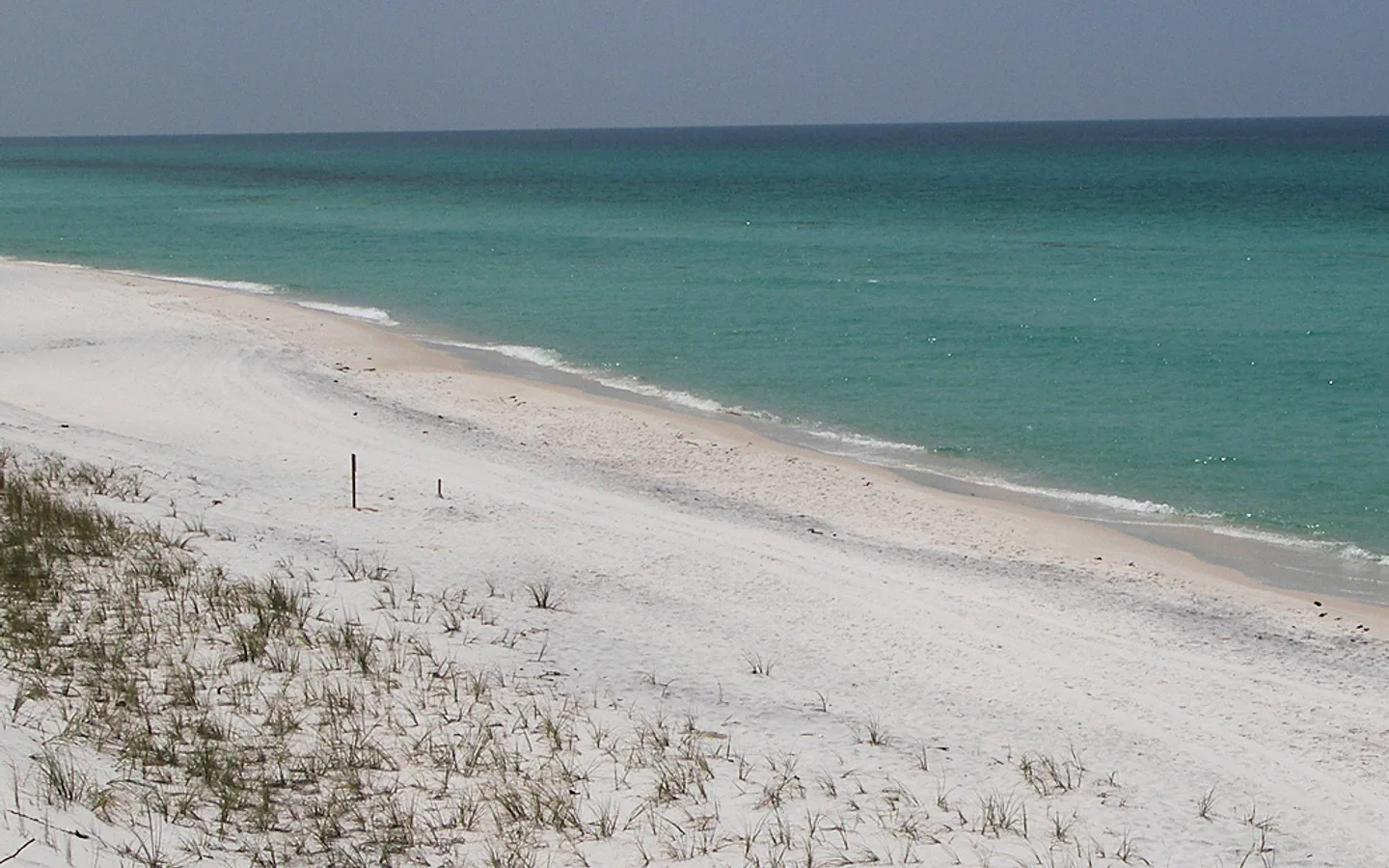
White sand under some of the tallest dunes in Florida; Dr. Beach ranked it the best beach in the country in 2002. A 1,700-acre wilderness preserve covers the north end with six miles of trail, and you collect a permit at the ranger station before walking in; three primitive campsites out there are reached by kayak. Shady Pines campground has 36 standard sites and 10 for tents only, and there are eight one-bedroom cabins sleeping six, with screened porches over St. Joseph Bay. The bay side is shallow and clear, and scalloping there is a summer habit. This is the most productive shorebird nesting beach in the Florida panhandle. Boat ramps, a marina, a concession, picnic pavilions, restrooms, showers and beach wheelchairs. No pets on the beaches, the shoreline, the picnic shelters, the restrooms or in the wilderness area.
Gulf County, Florida
About eight miles from Port St. Joe, and Gulf County calls it Old Florida's natural beach setting: pet-friendly, and you can drive on the sand with a permit. The Indian Pass boat ramp sits on Apalachicola Bay looking across at St. Vincent Island National Wildlife Refuge.
Gulf County, Florida
280 Cape San Blas Road, on the Gulf side of the cape. Beach access you can walk or drive onto, restrooms, a playground, picnic tables with grills, covered picnic areas and parking. Any horseback riding on this beach starts here, and so does the Loggerhead Trail, which runs 8.7 miles up the length of the cape.
Official planning desk
 Florida disaster preparedness maps
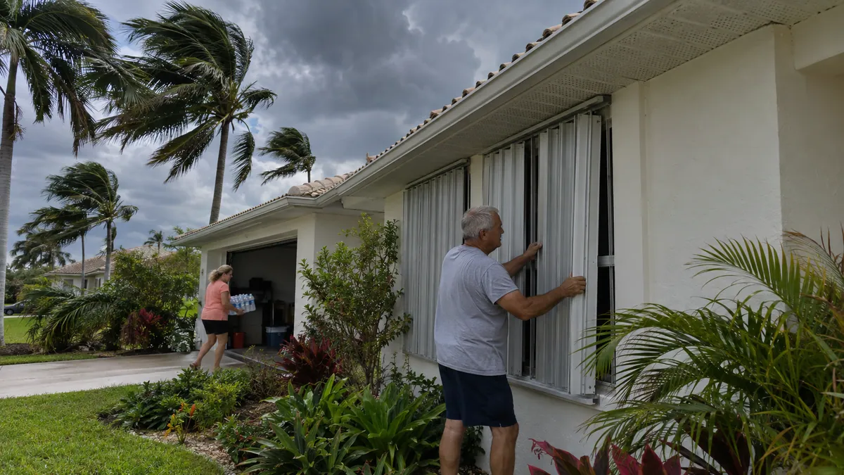
Official evacuation-zone, route and storm-surge planning maps.
Open official source ↗ Florida school accountability reports
Current state school and district accountability information.
Open official source ↗ Florida community health data
County-level public health indicators and community reports.
Open official source ↗ Florida housing resources
State resources for homebuyers, renters and local assistance programs.
Open official source ↗Compare nearby counties
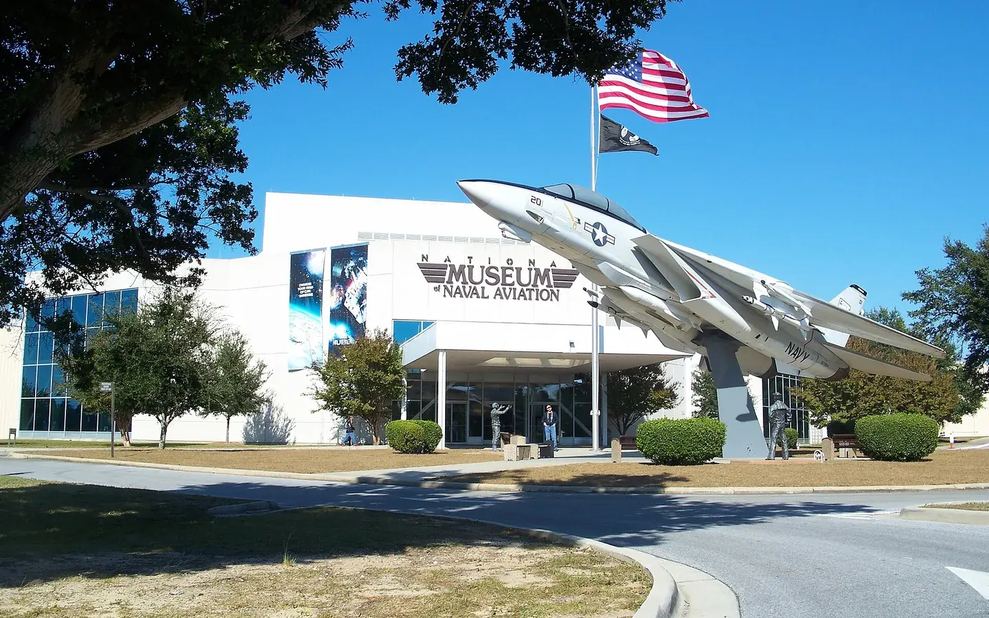 Pensacola · Pensacola Beach · Perdido KeyEscambia County
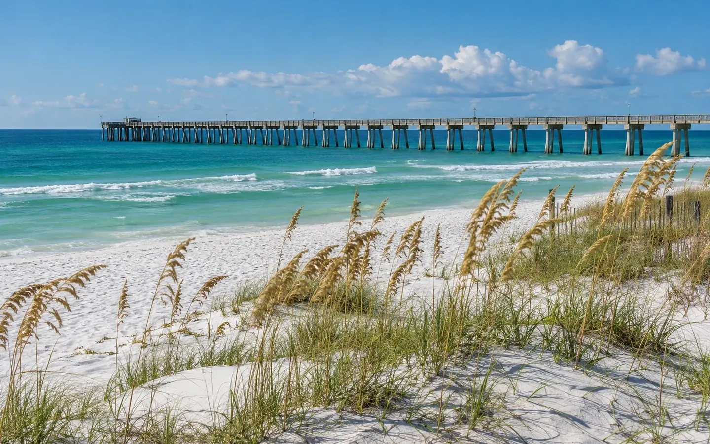 Milton · Pace · NavarreSanta Rosa County
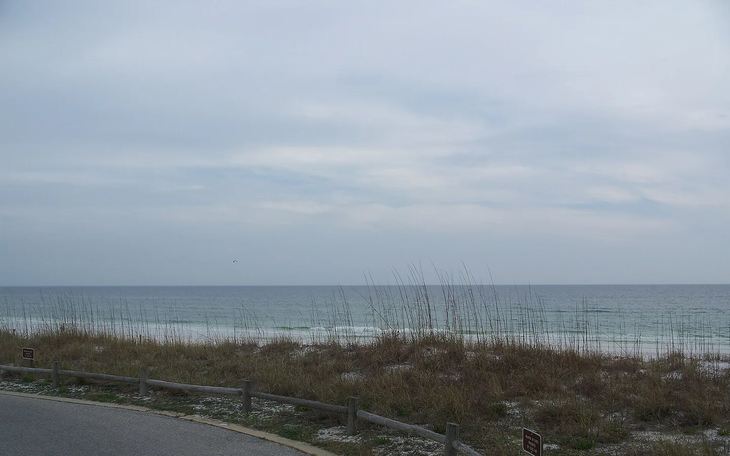 Fort Walton Beach · Destin · NicevilleOkaloosa County
 DeFuniak Springs · Freeport · South WaltonWalton County
 Bonifay · Ponce de Leon · EstoHolmes County