 01
How big is Florida?
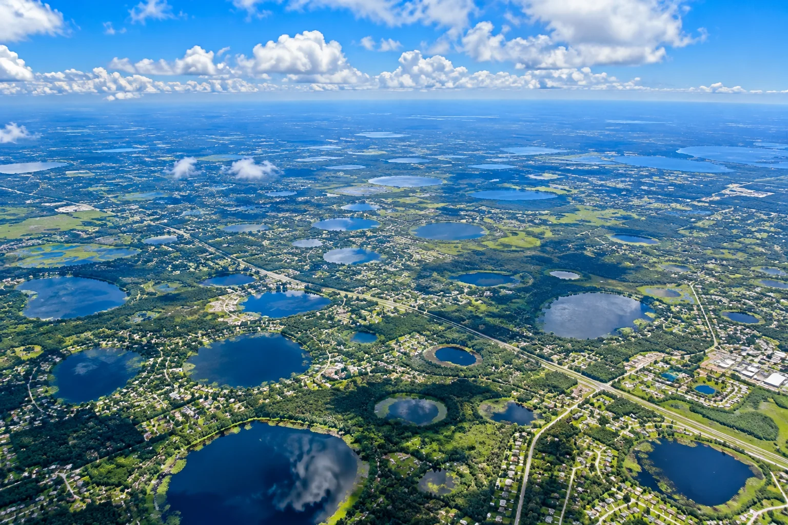
Florida covers 65,758 square miles, 22nd among the 50 states: 53,625 square miles of land and 12,133 of water.
Read the answer →Ask 1stFlorida
Florida's general coastline is 1,350 miles: 580 on the Atlantic and 770 on the Gulf.
Measured along every bay, sound, river and creek as far as the tide reaches, NOAA puts Florida's shoreline at 8,436 miles, 3,341 on the Atlantic side and 5,095 on the Gulf. No state but Alaska has more.
The state counts 663 miles of beaches.
01Florida covers 65,758 square miles, 22nd among the 50 states: 53,625 square miles of land and 12,133 of water.
Read the answer →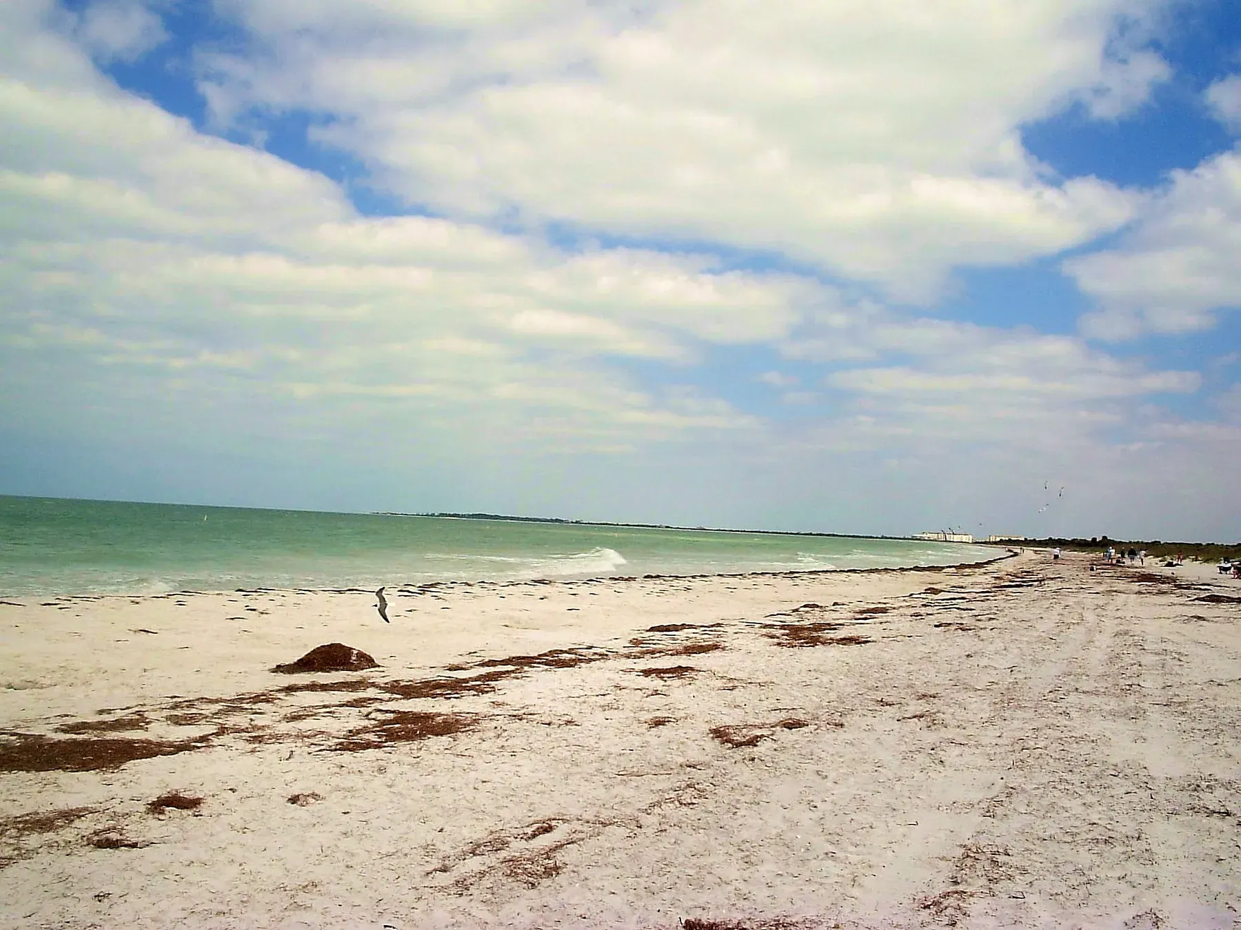 02
The quiet beaches are the ones you cannot drive to. Cayo Costa and North Captiva in Lee County are reached by boat or ferry and have miles of sand with almost nobody on them.
Read the answer →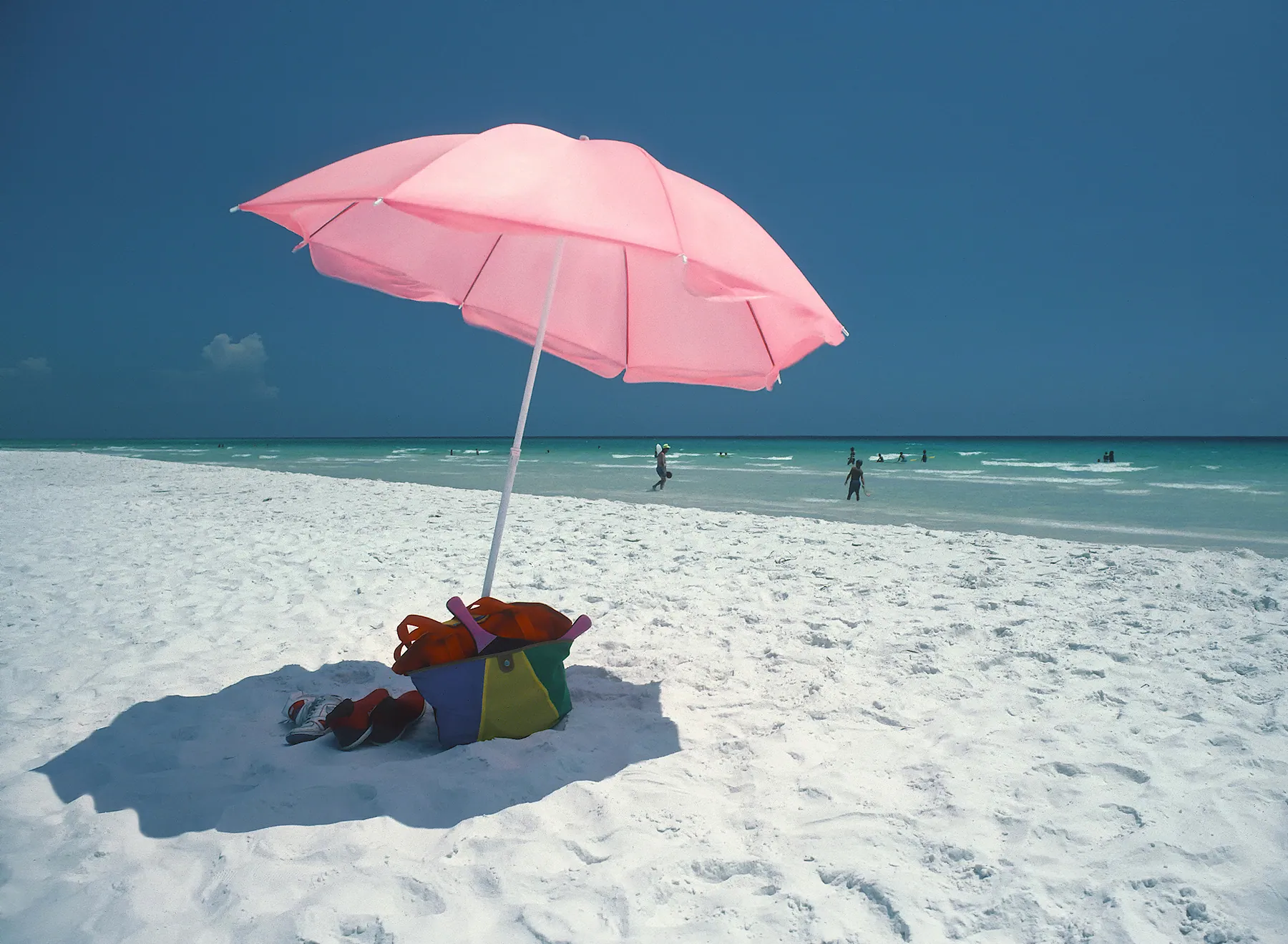 03
The white sand is on the northwest Gulf coast, in Walton, Okaloosa, Bay, Santa Rosa, Escambia and Gulf counties.
Read the answer →The white sand is on the northwest Gulf coast, in Walton, Okaloosa, Bay, Santa Rosa, Escambia and Gulf counties.
Siesta Beach on Siesta Key in Sarasota County is the one people name.
Two different answers, and the second one surprises people. On the coast, the clearest water is the Gulf off the Panhandle in calm summer weather, and the Keys - Bahia Honda, John Pennekamp and Dry Tortugas, where the water sits over sand and reef rather than river mud.
Have a different question? Ask 1stFlorida →